File:La Veta Pass.JPG
Jump to navigation
Jump to search

Size of this preview: 800 × 533 pixels. Other resolutions: 320 × 213 pixels | 640 × 427 pixels | 1,024 × 683 pixels | 1,280 × 853 pixels | 2,560 × 1,707 pixels | 5,184 × 3,456 pixels.
Original file (5,184 × 3,456 pixels, file size: 16.06 MB, MIME type: image/jpeg)
File history
Click on a date/time to view the file as it appeared at that time.
| Date/Time | Thumbnail | Dimensions | User | Comment | |
|---|---|---|---|---|---|
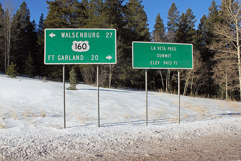
| current | 21:35, 26 December 2014 | | 5,184 × 3,456 (16.06 MB) | commons>Jeffrey Beall | {{Information |Description ={{en|1=La Veta Pass on U.S. Route 160 in southern Colorado. The pass lies on the border between Huerfano County to the east and Costilla County to the west. The elevation is 9,413 feet. The two signs in the picture are pa... |
File usage
There are no pages that use this file.