File:LaIlustracionArgentina.jpg
Jump to navigation
Jump to search

Size of this preview: 777 × 599 pixels. Other resolutions: 311 × 240 pixels | 622 × 480 pixels | 996 × 768 pixels | 1,280 × 988 pixels | 2,560 × 1,975 pixels | 4,635 × 3,576 pixels.
Original file (4,635 × 3,576 pixels, file size: 2.29 MB, MIME type: image/jpeg)
File history
Click on a date/time to view the file as it appeared at that time.
| Date/Time | Thumbnail | Dimensions | User | Comment | |
|---|---|---|---|---|---|
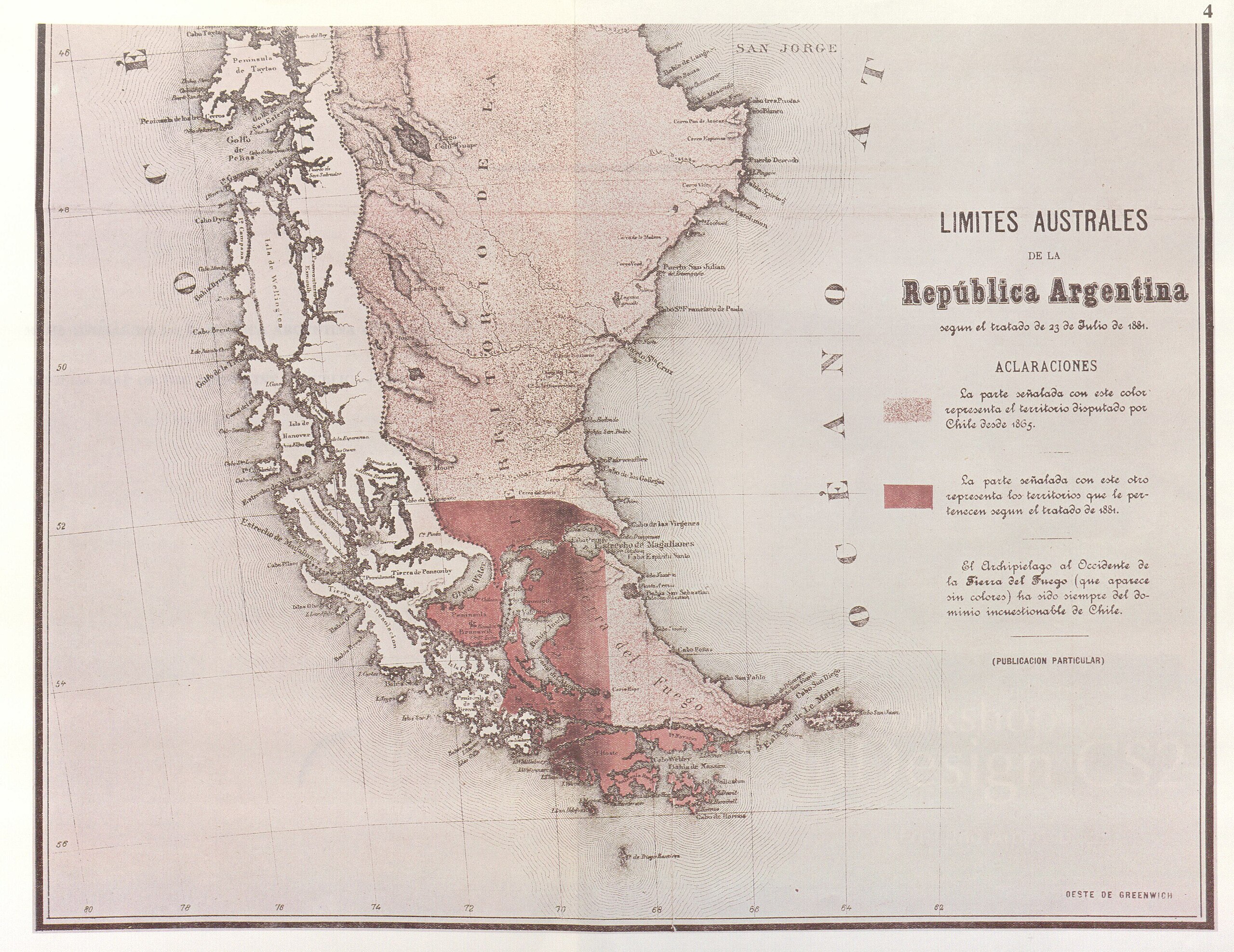
| current | 19:32, 3 November 2007 | | 4,635 × 3,576 (2.29 MB) | commons>Keysanger | {{Information |Description=Parcial reproduction of the first argentinian map showing the boundaries laid down in the Boundary Treaty of 23 July 1881, appeared in "La Ilustracion Argentina" issue of 10 November 1881 in Buenos Aires. The copy reproduced her |
File usage
There are no pages that use this file.