File:Kyrgyzstan provinces map.png
Jump to navigation
Jump to search
No higher resolution available.
Kyrgyzstan_provinces_map.png (750 × 423 pixels, file size: 13 KB, MIME type: image/png)
File history
Click on a date/time to view the file as it appeared at that time.
| Date/Time | Thumbnail | Dimensions | User | Comment | |
|---|---|---|---|---|---|
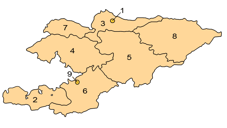
| current | 01:24, 1 April 2008 | | 750 × 423 (13 KB) | commons>Hux | ==Summary== Map showing the provinces and districts of Kyrgyzstan, including the indepedent cities of Bishkek and Osh. This map is an updated version of Image:KyrgyzstanNumbered.png, which was created by w:en:user:Aivazovsky. ==Licensing== {{GFD |
File usage
There are no pages that use this file.