File:Krasíkovice, South.jpg
Jump to navigation
Jump to search

Size of this preview: 800 × 532 pixels. Other resolutions: 320 × 213 pixels | 640 × 425 pixels | 1,024 × 681 pixels | 1,280 × 851 pixels | 2,560 × 1,702 pixels | 3,822 × 2,541 pixels.
Original file (3,822 × 2,541 pixels, file size: 3.18 MB, MIME type: image/jpeg)
| Description |
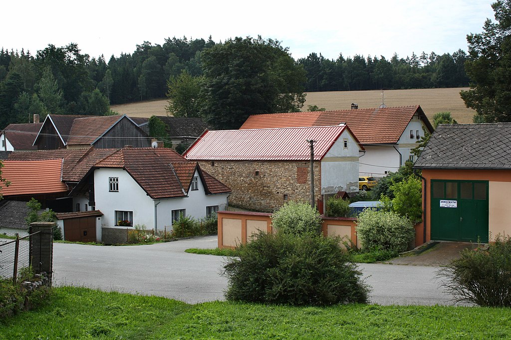
Čeština: Jižní část Krasíkovic
English: South part of Krasíkovice village, Czech Republic |
| Date | |
| Source | Own work |
| Author | Czech Wikipedia user Packa |
| Camera location | | View this and other nearby images on: OpenStreetMap |
|---|
|
|
Čeština: Tato fotografie vznikla v rámci druhého ročníku grantu fotografie českých obcí.
English: This photograph was taken within the scope of the second year of the 'Czech Municipalities Photographs' grant.
|
This photograph was taken with a DSLR from WMCZ's Camera grant.
|
This file is licensed under the Creative Commons Attribution-Share Alike 3.0 Unported license.
- You are free:
- to share – to copy, distribute and transmit the work
- to remix – to adapt the work
- Under the following conditions:
- attribution – You must give appropriate credit, provide a link to the license, and indicate if changes were made. You may do so in any reasonable manner, but not in any way that suggests the licensor endorses you or your use.
- share alike – If you remix, transform, or build upon the material, you must distribute your contributions under the same or compatible license as the original.
File history
Click on a date/time to view the file as it appeared at that time.
| Date/Time | Thumbnail | Dimensions | User | Comment | |
|---|---|---|---|---|---|
| current | 10:36, 10 September 2010 | | 3,822 × 2,541 (3.18 MB) | commons>Packa |
File usage
There are no pages that use this file.