File:Korea-Gyeongju-Map of mountains and drainage-02.png
Jump to navigation
Jump to search
No higher resolution available.
Korea-Gyeongju-Map_of_mountains_and_drainage-02.png (635 × 595 pixels, file size: 77 KB, MIME type: image/png)
File history
Click on a date/time to view the file as it appeared at that time.
| Date/Time | Thumbnail | Dimensions | User | Comment | |
|---|---|---|---|---|---|
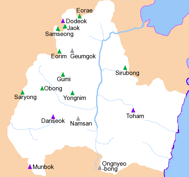
| current | 00:31, 17 September 2009 | | 635 × 595 (77 KB) | commons>Caspian blue | {{Information |Description={{en|Mountains and drainage patterns of Gyeongju City, South Korea. Drawn by hand by User:Visviva. May contain inaccuracies. # Mt. Munbok ('Munbok'san'', 1,014m) # Mt Danseok (''Danseoks |
File usage
There are no pages that use this file.