File:Knight Island, USGS map CA Cuttings Wharf 289711 1949 24000.png
Jump to navigation
Jump to search

Size of this preview: 600 × 600 pixels. Other resolutions: 240 × 240 pixels | 480 × 480 pixels | 768 × 768 pixels | 1,200 × 1,200 pixels.
Original file (1,200 × 1,200 pixels, file size: 2.69 MB, MIME type: image/png)
File history
Click on a date/time to view the file as it appeared at that time.
| Date/Time | Thumbnail | Dimensions | User | Comment | |
|---|---|---|---|---|---|
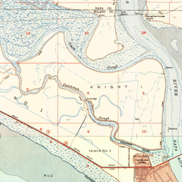
| current | 21:32, 26 February 2021 | | 1,200 × 1,200 (2.69 MB) | commons>JPxG | == {{int:filedesc}} == {{Information |Description=USGS aerial imagery of an island in the w:San Francisco Bay Area. Image cropped from USGS historical map, available from TopoViewer. |Source=https://ngmdb.usgs.gov/topoview/viewer/ |Date=1951 |Author=USGS |Permission={{PD-USGov-USGS}} |other_versions= }} Category:Islands of California Category:San Francisco Bay Area Category:San Pablo Bay |
File usage
There are no pages that use this file.