File:Kloster Banz Pano001.jpg
Jump to navigation
Jump to search

Size of this preview: 800 × 265 pixels. Other resolutions: 320 × 106 pixels | 640 × 212 pixels | 1,024 × 339 pixels | 1,280 × 424 pixels | 4,831 × 1,600 pixels.
Original file (4,831 × 1,600 pixels, file size: 6.15 MB, MIME type: image/jpeg)
|
| Description |
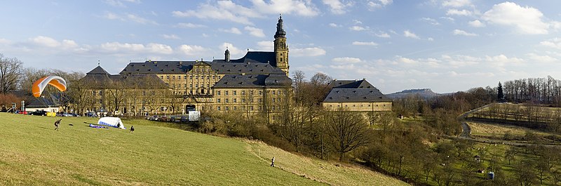
Français : Le monastère de Banz, près de Bad Staffelstein, en Allemagne.
Camera: Nikon D50Lens: Nikkor AF 50mm f/1,8 D |
| Date | Taken on 9 March 2008 |
| Source | Own work |
| Author | Simon Koopmann |
| Permission (Reusing this file) |
Everybody can download it and use it for his own purposes. By publishing or other public usage of the image the author should be mentioned
This file is licensed under the Creative Commons Attribution-Share Alike 2.0 Germany license.
 |
| Other versions | Derivative works of this file: Banz Abbey banner.jpg |
| Camera location | | View this and other nearby images on: OpenStreetMap |
|---|
File history
Click on a date/time to view the file as it appeared at that time.
| Date/Time | Thumbnail | Dimensions | User | Comment | |
|---|---|---|---|---|---|
| current | 10:47, 22 June 2008 | 4,831 × 1,600 (6.15 MB) | commons>Simonizer | {{Information |Description= |Source= |Date= |Author= |Permission= |other_versions= }} |
File usage
There are no pages that use this file.