File:Klang Valley and Outlying Rail Transport.svg
Jump to navigation
Jump to search

Size of this PNG preview of this SVG file: 800 × 596 pixels. Other resolutions: 320 × 239 pixels | 640 × 477 pixels | 1,024 × 763 pixels | 1,280 × 954 pixels | 2,560 × 1,908 pixels | 3,033 × 2,261 pixels.
Original file (SVG file, nominally 3,033 × 2,261 pixels, file size: 1.24 MB)
File history
Click on a date/time to view the file as it appeared at that time.
| Date/Time | Thumbnail | Dimensions | User | Comment | |
|---|---|---|---|---|---|
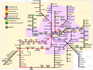
| current | 19:13, 17 November 2017 | | 3,033 × 2,261 (1.24 MB) | commons>Derkommander0916 | Map of rail transit systems in Selangor and Kuala Lumpur. Updated to include the LRT Sri Petaling Line and Kelana Jaya Line extensions, the MRT Sungai Buloh-Kajang Line, Sunway BRT and KTM Komuter new routes. Included route numbers and state boundaries. |
File usage
There are no pages that use this file.