File:Kiribati location map.svg

From WikiProjectMed
Jump to navigation Jump to search

Original file(SVG file, nominally 1,488 × 673 pixels, file size: 68 KB)

This file is from a shared repository and may be used by other projects. The description on its file description page there is shown below.

Summary

Description
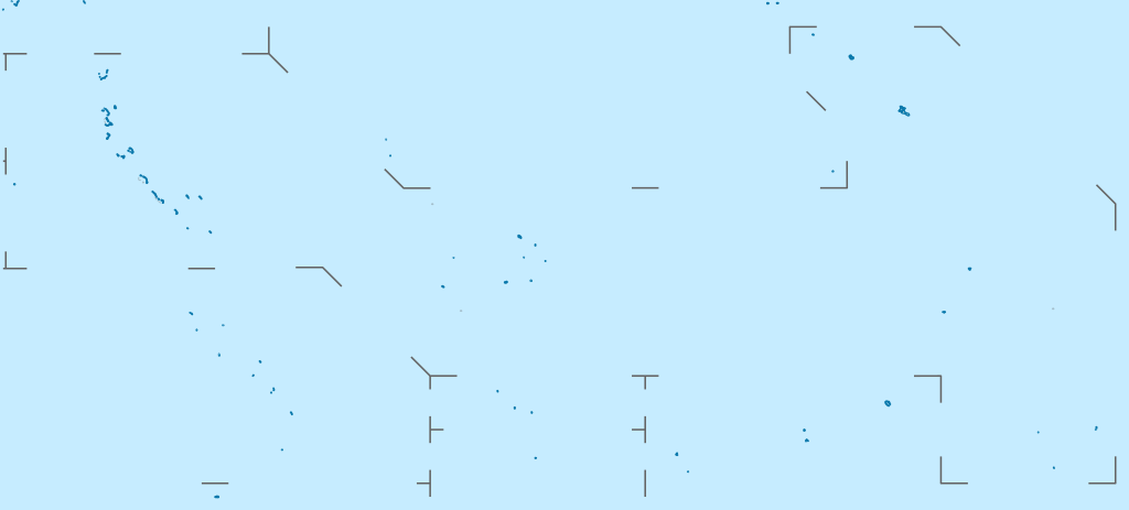
Deutsch: Positionskarte von Kiribati

Quadratische Plattkarte. Geographische Begrenzung der Karte:

  • N: 6° N
  • S: 13° S
  • W: 169° O
  • O: 149° W
English: Location map of Kiribati

Equirectangular projection. Geographic limits of the map:

  • N: 6° N
  • S: 13° S
  • W: 169° E
  • E: 149° W
Date
Source

Own work, using

  • United States National Imagery and Mapping Agency data
Author NordNordWest
Permission
(Reusing this file)

I have published this file as author NordNordWest under the "CC-BY-SA-3.0-DE" in Wikipedia. This means that free, commercial usage outside of Wikipedia is permitted under the following licence terms:

Please send me a specimen copy or the URL of the website where the file is used.

Please write an email to nnwest[at]web.de if you

  • need my postal address for sending a specimen copy
  • have further questions about the terms of the licence

PS: In case of refusal of the above terms the author reserves the right to take legal action.

w:en:Creative Commons
attribution share alike
This file is licensed under the Creative Commons Attribution-Share Alike 3.0 Germany license.
You are free:
  • to share – to copy, distribute and transmit the work
  • to remix – to adapt the work
Under the following conditions:
  • attribution – You must give appropriate credit, provide a link to the license, and indicate if changes were made. You may do so in any reasonable manner, but not in any way that suggests the licensor endorses you or your use.
  • share alike – If you remix, transform, or build upon the material, you must distribute your contributions under the same or compatible license as the original.
Other versions
Kartenwerkstatt
This map has been made or improved in the German Kartenwerkstatt (Map Lab). You can propose maps to improve as well.

Captions

Add a one-line explanation of what this file represents

Items portrayed in this file

depicts

5 March 2010

image/svg+xml

File history

Click on a date/time to view the file as it appeared at that time.

Date/TimeThumbnailDimensionsUserComment
current15:52, 23 February 2021Thumbnail for version as of 15:52, 23 February 20211,488 × 673 (68 KB)commons>NordNordWestReverted to version as of 09:54, 1 April 2010 (UTC), sorry, but this is not location map style

There are no pages that use this file.

Metadata