File:Kingston upon Hull UK ward map 2010 annotated.svg
Jump to navigation
Jump to search

Size of this PNG preview of this SVG file: 606 × 600 pixels. Other resolutions: 243 × 240 pixels | 485 × 480 pixels | 776 × 768 pixels | 1,035 × 1,024 pixels | 2,070 × 2,048 pixels | 1,319 × 1,305 pixels.
Original file (SVG file, nominally 1,319 × 1,305 pixels, file size: 180 KB)
File history
Click on a date/time to view the file as it appeared at that time.
| Date/Time | Thumbnail | Dimensions | User | Comment | |
|---|---|---|---|---|---|
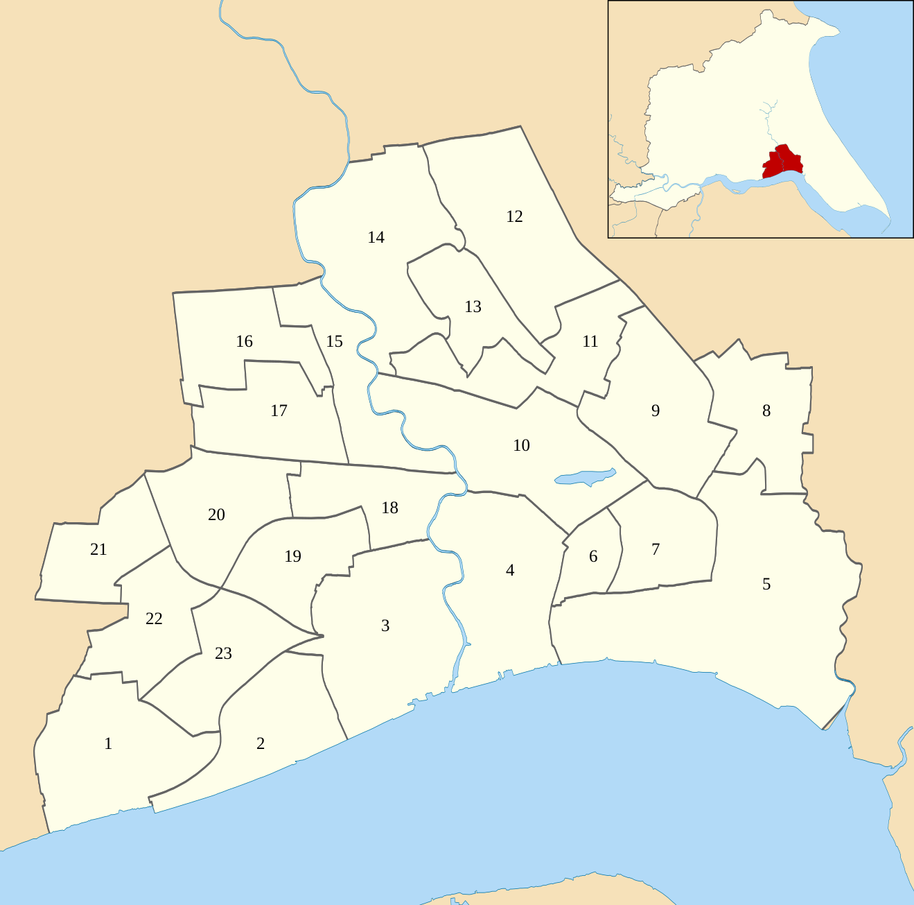
| current | 18:16, 2 June 2018 | | 1,319 × 1,305 (180 KB) | commons>Keith D | == {{int:filedesc}} == {{Information |Description=Map of Kingston upon Hull, East Riding of Yorkshire, UK with electoral wards shown as of 2010. Equirectangular map projection on WGS 84 datum, with N/S stretched 165% Geographic limits: *West: 0.43W *East: 0.23W *North: 53.83N *South: 53.71N |Source=Ordnance Survey [https://www.ordnancesurvey.co.uk/opendatadownload/products.html OpenData]. *Coastline and admini... |
File usage
There are no pages that use this file.