File:King Abdul Aziz Port Landsat.png
Jump to navigation
Jump to search
Size of this preview: 707 × 600 pixels. Other resolutions: 283 × 240 pixels | 566 × 480 pixels | 858 × 728 pixels.
Original file (858 × 728 pixels, file size: 750 KB, MIME type: image/png)
Summary
| Description |
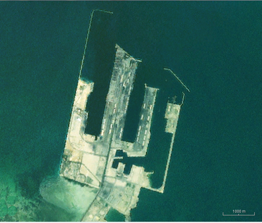
English: Landsat view of the King Abdul Aziz Port in Saudi Arabia. |
| Date | Unknown date |
| Source | NASA WorldWind java program |
| Author | NASA Landsat |
Licensing
| This image is in the public domain because it is a screenshot from NASA’s globe software World Wind using a public domain layer, such as Blue Marble, MODIS, Landsat, SRTM, USGS or GLOBE.
|
 |
File history
Click on a date/time to view the file as it appeared at that time.
| Date/Time | Thumbnail | Dimensions | User | Comment | |
|---|---|---|---|---|---|
| current | 03:23, 17 December 2016 | | 858 × 728 (750 KB) | commons>Oaktree b | User created page with UploadWizard |
File usage
There are no pages that use this file.