File:Khmers rouges map.png
Jump to navigation
Jump to search

Size of this preview: 660 × 599 pixels. Other resolutions: 264 × 240 pixels | 529 × 480 pixels | 881 × 800 pixels.
Original file (881 × 800 pixels, file size: 421 KB, MIME type: image/png)
File history
Click on a date/time to view the file as it appeared at that time.
| Date/Time | Thumbnail | Dimensions | User | Comment | |
|---|---|---|---|---|---|
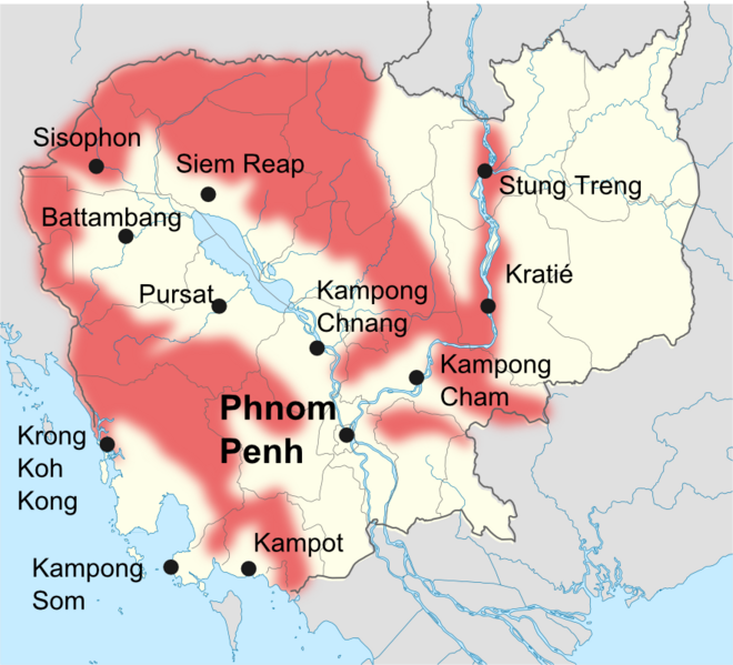
| current | 21:14, 2 August 2010 | | 881 × 800 (421 KB) | commons>Toony | {{Information |Description={{en|1=map of khmers rouges avtivities (1989-1990)}} {{fr|1=Cartes des zones d'activités des khmers rouges en 1989-1990.}} |Source=self made |Author=toony |Date=2010 |Permission= |other_versions= }} from Christophe Peschoux,''L |
File usage
There are no pages that use this file.