File:Khasekhemwy Monument (I).jpg
Jump to navigation
Jump to search

Size of this preview: 800 × 600 pixels. Other resolutions: 320 × 240 pixels | 640 × 480 pixels | 1,024 × 768 pixels | 1,280 × 960 pixels | 2,560 × 1,920 pixels | 3,296 × 2,472 pixels.
Original file (3,296 × 2,472 pixels, file size: 3.63 MB, MIME type: image/jpeg)
.jpg)
Summary
| Description |
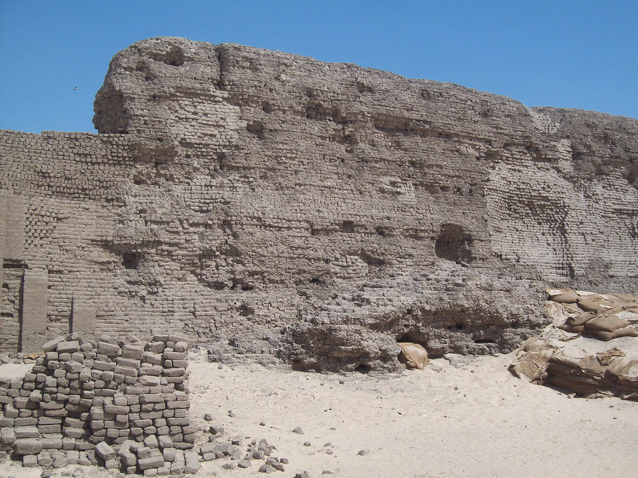
English: Abydos /əˈbaɪdɒs/ is one of the oldest cities of ancient Egypt, and also of the eighth nome in Upper Egypt, of which it was the capital city. It is located about 11 kilometres (6.8 miles) west of the Nile at latitude 26° 10' N, near the modern Egyptian towns of el-'Araba el Madfuna and al-Balyana. The city was called Abdju in the ancient Egyptian language (ꜣbdw or AbDw as technically transcribed from hieroglyphs) meaning "the hill of the symbol or reliquary", a reference to a reliquary in which the sacred head of Osiris was preserved.
|
||
| Date | |||
| Source | https://www.flickr.com/photos/34561917@N04/7257218542/ | ||
| Author | isawnyu |
| Camera location | | View this and other nearby images on: OpenStreetMap |
|---|
.jpg¶ms=026.185000_N_0031.918889_E_globe:Earth_type:camera__&language=en)
Licensing
| This image was originally posted to Flickr. Its license was verified as "cc-by-2.0" by the UploadWizard Extension at the time it was transferred to Commons. See the license information for further details. |
This file is licensed under the Creative Commons Attribution 2.0 Generic license.
- You are free:
- to share – to copy, distribute and transmit the work
- to remix – to adapt the work
- Under the following conditions:
- attribution – You must give appropriate credit, provide a link to the license, and indicate if changes were made. You may do so in any reasonable manner, but not in any way that suggests the licensor endorses you or your use.

|
This image was uploaded as part of Wiki Loves Monuments 2014.
|
 |
File history
Click on a date/time to view the file as it appeared at that time.
| Date/Time | Thumbnail | Dimensions | User | Comment | |
|---|---|---|---|---|---|
| current | 15:23, 27 September 2014 | | 3,296 × 2,472 (3.63 MB) | commons>Tarawneh | User created page with UploadWizard |
File usage
There are no pages that use this file.
.jpg)