File:Kgeorge map.png
Jump to navigation
Jump to search
No higher resolution available.
Kgeorge_map.png (660 × 402 pixels, file size: 296 KB, MIME type: image/png)
File history
Click on a date/time to view the file as it appeared at that time.
| Date/Time | Thumbnail | Dimensions | User | Comment | |
|---|---|---|---|---|---|
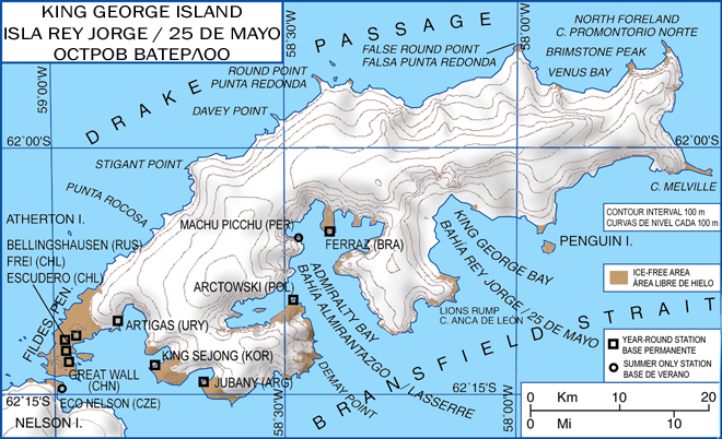
| current | 13:13, 22 January 2008 | | 660 × 402 (296 KB) | commons>Wadim | {{Information| |Description= King George Island map. Detailed. Relief. Research Stations. Modificado 22.01.2008: Quito la firma, añado denominación historica en ruso. |Source= |Date= 06-May-2006 |Author= Giovanni Fattori |Permission= GNU free licence |o |
File usage
There are no pages that use this file.