File:Kent UK relief location map.jpg
Jump to navigation
Jump to search
Size of this preview: 800 × 561 pixels. Other resolutions: 320 × 224 pixels | 640 × 449 pixels | 1,024 × 718 pixels | 1,280 × 898 pixels | 1,999 × 1,402 pixels.
Original file (1,999 × 1,402 pixels, file size: 301 KB, MIME type: image/jpeg)
File history
Click on a date/time to view the file as it appeared at that time.
| Date/Time | Thumbnail | Dimensions | User | Comment | |
|---|---|---|---|---|---|
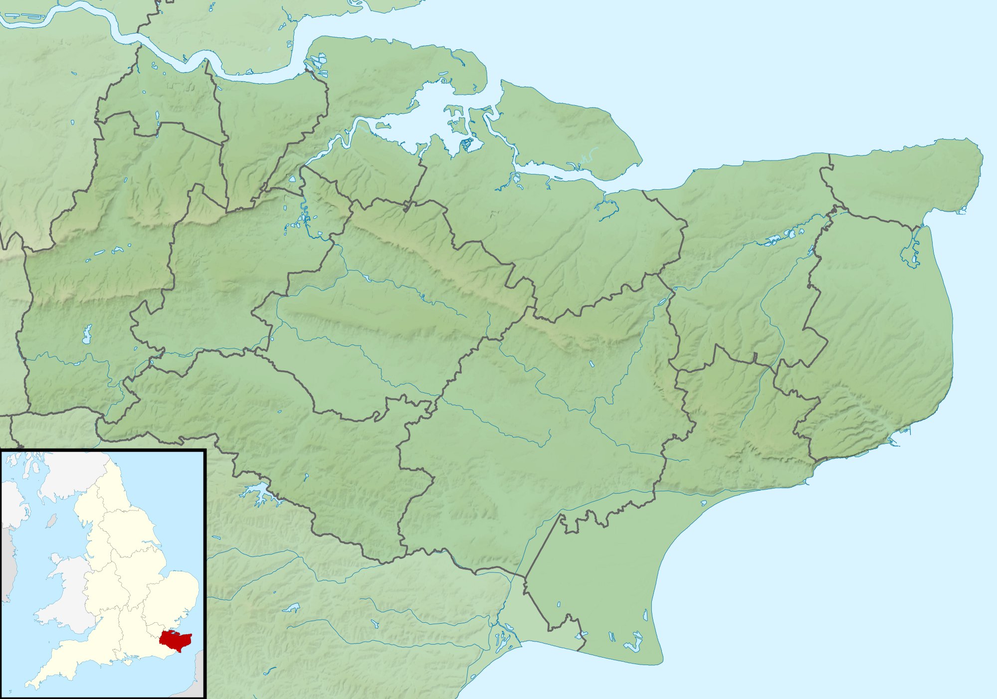
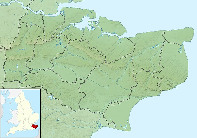
| current | 01:42, 29 November 2011 | | 1,999 × 1,402 (301 KB) | commons>Nilfanion | {{Information |Description=Relief map of Kent, UK. Equirectangular map projection on WGS 84 datum, with N/S stretched 160% Geographic limits: *West: 0.01E *East: 1.47E *North: 51.52N *South: 50.88N |Source=[[w:Ordnance Survey|Ordnance Survey] |
File usage
There are no pages that use this file.