File:Karte Quakenbrück geogr. Lage.png
Jump to navigation
Jump to search

Size of this preview: 617 × 600 pixels. Other resolutions: 247 × 240 pixels | 494 × 480 pixels | 938 × 912 pixels.
Original file (938 × 912 pixels, file size: 974 KB, MIME type: image/png)
File history
Click on a date/time to view the file as it appeared at that time.
| Date/Time | Thumbnail | Dimensions | User | Comment | |
|---|---|---|---|---|---|
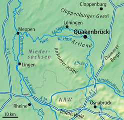
| current | 19:29, 29 January 2009 | | 938 × 912 (974 KB) | commons>NordNordWest | {{Information |Description= {{de|Geografische Lage von Quakenbrück}} {{en|Geographic location of Quakenbrück, Germany}} |Source=self-made |Date=29.01.2009 |Author=NordNordWest |Permission= |
File usage
There are no pages that use this file.