File:Karte Kanton Solothurn Bezirke 2010.png
Jump to navigation
Jump to search
Size of this preview: 652 × 599 pixels. Other resolutions: 261 × 240 pixels | 522 × 480 pixels | 836 × 768 pixels | 1,114 × 1,024 pixels | 2,066 × 1,899 pixels.
Original file (2,066 × 1,899 pixels, file size: 909 KB, MIME type: image/png)
File history
Click on a date/time to view the file as it appeared at that time.
| Date/Time | Thumbnail | Dimensions | User | Comment | |
|---|---|---|---|---|---|
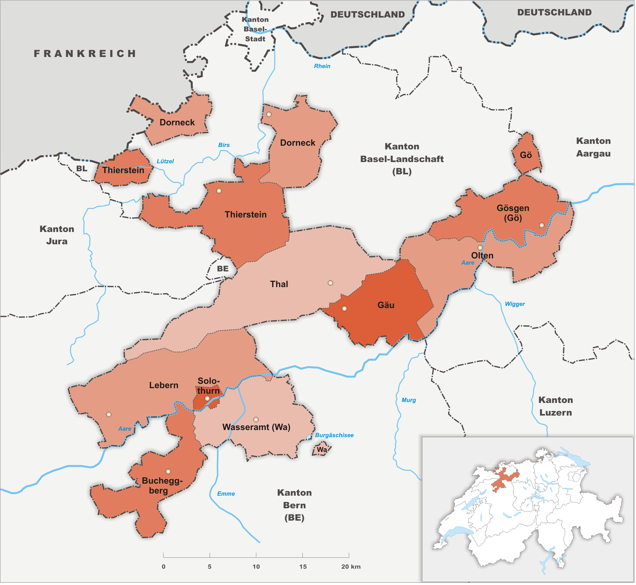
| current | 18:53, 29 October 2009 | | 2,066 × 1,899 (909 KB) | commons>Tschubby | {{Information |Description= {{de|Bezirke des Kanton Solothurn}} |Source={{own}} |Date= 29.10.2009 |Author= Tschubby |Permission= {{self|GFDL|Cc-by-sa-3.0-migrated|Cc-by-sa-2.5,2.0,1.0}} }} [[Category:Maps of |
File usage
There are no pages that use this file.