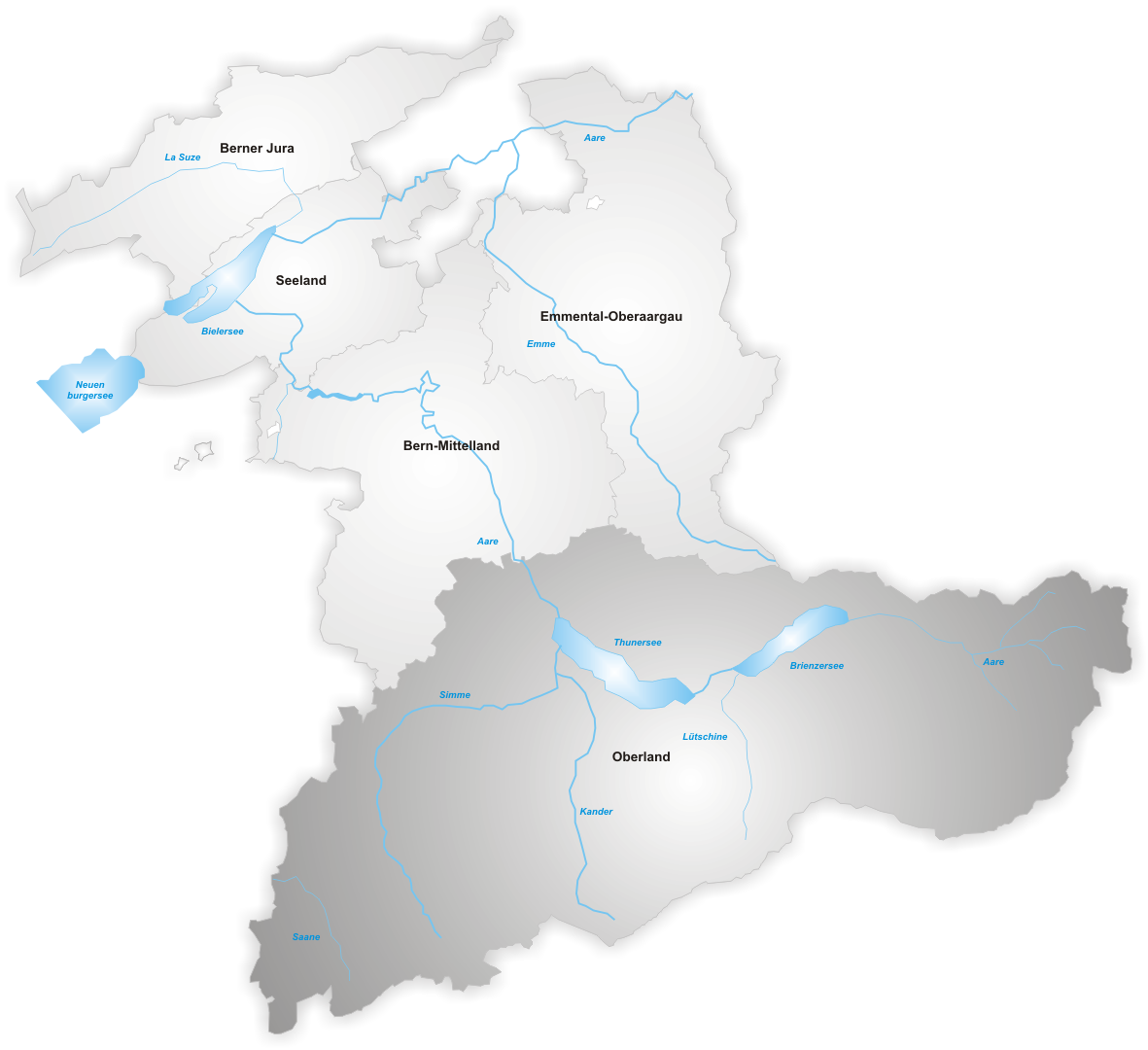
File:Karte Kanton Bern Verwaltungsregion Oberland.png
Jump to navigation
Jump to search
Size of this preview: 656 × 600 pixels. Other resolutions: 262 × 240 pixels | 525 × 480 pixels | 840 × 768 pixels | 1,181 × 1,080 pixels.
Original file (1,181 × 1,080 pixels, file size: 268 KB, MIME type: image/png)
File history
Click on a date/time to view the file as it appeared at that time.
| Date/Time | Thumbnail | Dimensions | User | Comment | |
|---|---|---|---|---|---|
| current | 18:13, 21 December 2006 | | 1,181 × 1,080 (268 KB) | commons>Tschubby | Verwaltungsregion Oberland Map drawn by Tschubby Oberland {{GFDL}} |
File usage
There are no pages that use this file.