File:Karte Hasetal.gif
Jump to navigation
Jump to search
No higher resolution available.
Karte_Hasetal.gif (400 × 331 pixels, file size: 26 KB, MIME type: image/gif)
File history
Click on a date/time to view the file as it appeared at that time.
| Date/Time | Thumbnail | Dimensions | User | Comment | |
|---|---|---|---|---|---|
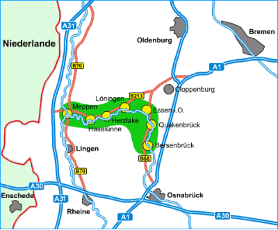
| current | 17:15, 1 October 2007 | | 400 × 331 (26 KB) | commons>Lencer | {{Information| |Description=Lage des Hasetals und Verlauf des Flusses Hase |Source=[http://www.hasetal.de http://www.hasetal.de], Erlaubnis liegt als Email vor und wird in Kürze an permissions-de@wikimedia.org übers |
File usage
There are no pages that use this file.