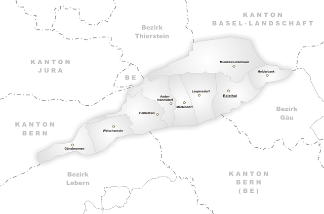
File:Karte Gemeinden des Bezirks Thal.png
Jump to navigation
Jump to search

Size of this preview: 800 × 529 pixels. Other resolutions: 320 × 212 pixels | 640 × 423 pixels | 1,024 × 677 pixels | 1,181 × 781 pixels.
Original file (1,181 × 781 pixels, file size: 156 KB, MIME type: image/png)
File history
Click on a date/time to view the file as it appeared at that time.
| Date/Time | Thumbnail | Dimensions | User | Comment | |
|---|---|---|---|---|---|
| current | 18:44, 23 April 2005 | | 1,181 × 781 (156 KB) | commons>Tschubby | *Municipalities of District Thal *Author: http://de.wikipedia.org/wiki/Benutzer:Tschubby {{GFDL}} Category:Maps of municipalities in the canton of Solothurn |
File usage
There are no pages that use this file.