File:Karte Donaudurchstich.jpg
Jump to navigation
Jump to search
Size of this preview: 800 × 556 pixels. Other resolutions: 320 × 222 pixels | 640 × 445 pixels | 1,024 × 712 pixels | 1,280 × 890 pixels | 1,479 × 1,028 pixels.
Original file (1,479 × 1,028 pixels, file size: 855 KB, MIME type: image/jpeg)
File history
Click on a date/time to view the file as it appeared at that time.
| Date/Time | Thumbnail | Dimensions | User | Comment | |
|---|---|---|---|---|---|
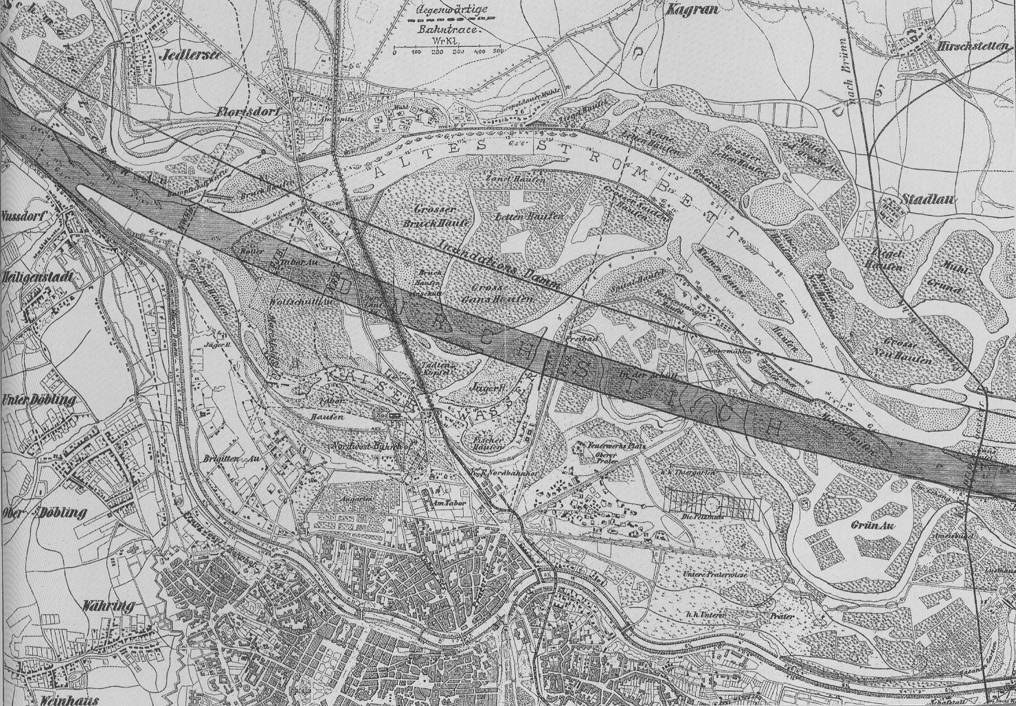
| current | 10:27, 18 October 2005 | | 1,479 × 1,028 (855 KB) | commons>Geiserich77 | == Licensing == {{PD-old}} {{Information| |Description = Plan of the danube-regulation |Source = Scanned by Geiserich77 from: Hinkel, Raimund: ''Wien XXI. Floridsdorf. Das Heimatbuch.'' Wien 1994. |Date = about 1870-1875 |Author = un |
File usage
There are no pages that use this file.