File:KarteKrummhoern800nChr.png
Jump to navigation
Jump to search
Size of this preview: 466 × 599 pixels. Other resolutions: 186 × 240 pixels | 373 × 480 pixels | 597 × 768 pixels | 796 × 1,024 pixels | 1,600 × 2,058 pixels.
Original file (1,600 × 2,058 pixels, file size: 686 KB, MIME type: image/png)
File history
Click on a date/time to view the file as it appeared at that time.
| Date/Time | Thumbnail | Dimensions | User | Comment | |
|---|---|---|---|---|---|
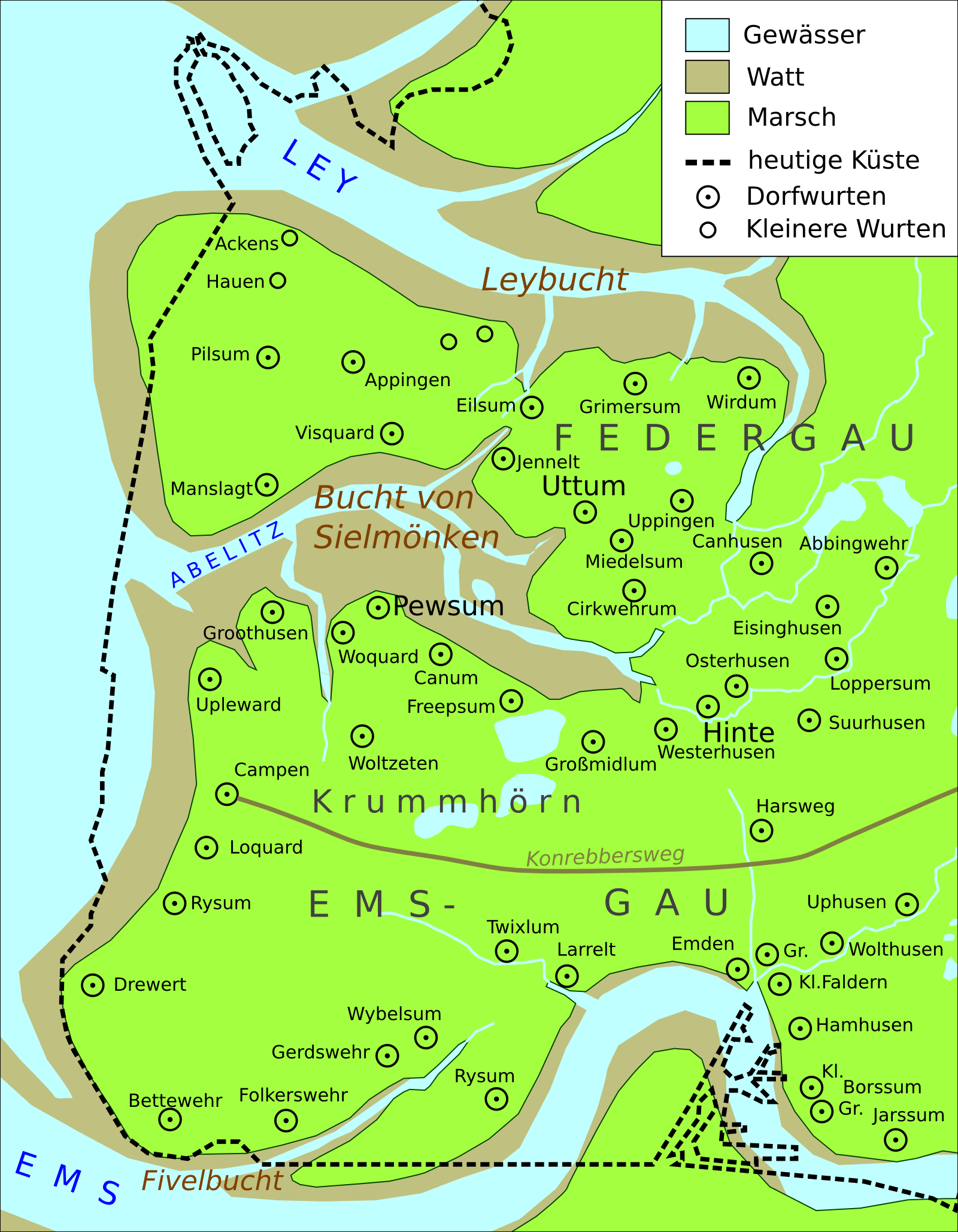
| current | 20:37, 29 December 2009 | | 1,600 × 2,058 (686 KB) | commons>Onno~commonswiki | {{Information |Description={{de|1=Karte der Krummhörn um 800 n.Chr.}} |Source={{own}} |Author=Onno |Date=2009-12-29 |Permission= |other_versions= }} Basierend auf einer Karte in Hans Homeier: "Der Gestaltwandel der ostfriesischen Küste im |
File usage
There are no pages that use this file.