File:Karte-tirol-I.png
Jump to navigation
Jump to search
No higher resolution available.
Karte-tirol-I.png (300 × 167 pixels, file size: 9 KB, MIME type: image/png)
File history
Click on a date/time to view the file as it appeared at that time.
| Date/Time | Thumbnail | Dimensions | User | Comment | |
|---|---|---|---|---|---|
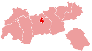
| current | 23:15, 5 July 2005 | | 300 × 167 (9 KB) | commons>Nikai | * Map of Tyrol, Innsbruck highlighted * Original by de:Benutzer:Jensens, 9. Juni 2003 * compressed with pngcrush {{GFDL}} Category:Maps of Austria Category:Tirol |
File usage
There are no pages that use this file.