File:Karakoram location map.png
Jump to navigation
Jump to search

Size of this preview: 800 × 537 pixels. Other resolutions: 320 × 215 pixels | 640 × 429 pixels | 1,024 × 687 pixels | 1,280 × 859 pixels | 2,701 × 1,812 pixels.
Original file (2,701 × 1,812 pixels, file size: 8.57 MB, MIME type: image/png)
File history
Click on a date/time to view the file as it appeared at that time.
| Date/Time | Thumbnail | Dimensions | User | Comment | |
|---|---|---|---|---|---|
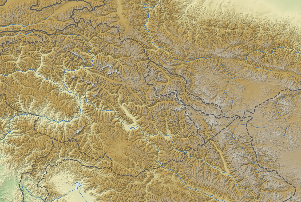
| current | 18:02, 26 November 2012 | | 2,701 × 1,812 (8.57 MB) | commons>NordNordWest | == {{int:filedesc}} == {{Information |Description= {{de|Positionskarte des Karakorum}} Quadratische Plattkarte, N-S-Streckung 124 %. Geographische Begrenzung der Karte: * N: 37.4° N * S: 34.1° N * W: 73.0° O * O: 79.1° O {{en... |
File usage
There are no pages that use this file.