File:Kanab Creek Canyon, Arizona (14223845173).jpg

Original file (4,000 × 3,000 pixels, file size: 2.92 MB, MIME type: image/jpeg)
.jpg)
Summary
| Description |
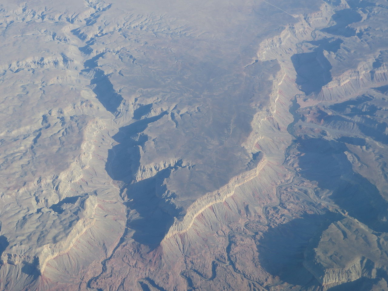
Kanab Creek is one of the many tributaries of the Grand Canyon. It begins in Kane County, Utah, just south of the watershed to the Great Basin and flows 125 miles (201 km) south to the Colorado River. It passes Kanab, Utah, crossing the border to Arizona near Fredonia. It flows through the Kaibab Indian Reservation of the Paiute people and the 1984-designated Kanab Creek Wilderness, a wilderness area, before its mouth in the Grand Canyon National Park. The valley of Kanab Creek was settled by Basketmaker and Anasazi Indians. Ruins of their buildings and artifacts are found along its course. Note: An early morning photo showing sun angle shadows (view due-north). en.wikipedia.org/wiki/Kanab_Creek en.wikipedia.org/wiki/Wikipedia:Text_of_Creative_Commons_... |
| Date | |
| Source | Kanab Creek Canyon, Arizona |
| Author | Ken Lund from Reno, Nevada, USA |
| Camera location | | View this and other nearby images on: OpenStreetMap |
|---|
.jpg¶ms=036.587608_N_-112.641180_E_globe:Earth_type:camera_source:Flickr_&language=en)
Licensing
- You are free:
- to share – to copy, distribute and transmit the work
- to remix – to adapt the work
- Under the following conditions:
- attribution – You must give appropriate credit, provide a link to the license, and indicate if changes were made. You may do so in any reasonable manner, but not in any way that suggests the licensor endorses you or your use.
- share alike – If you remix, transform, or build upon the material, you must distribute your contributions under the same or compatible license as the original.
| This image was originally posted to Flickr by Ken Lund at https://flickr.com/photos/75683070@N00/14223845173. It was reviewed on 4 December 2015 by FlickreviewR and was confirmed to be licensed under the terms of the cc-by-sa-2.0. |
File history
Click on a date/time to view the file as it appeared at that time.
| Date/Time | Thumbnail | Dimensions | User | Comment | |
|---|---|---|---|---|---|
| current | 01:00, 4 December 2015 | | 4,000 × 3,000 (2.92 MB) | commons>INeverCry | Transferred from Flickr via Flickr2Commons |
File usage
There are no pages that use this file.
.jpg)