File:Kainji Lake within Nigeria.jpg
Jump to navigation
Jump to search
Size of this preview: 779 × 599 pixels. Other resolutions: 312 × 240 pixels | 624 × 480 pixels | 954 × 734 pixels.
Original file (954 × 734 pixels, file size: 707 KB, MIME type: image/jpeg)
File history
Click on a date/time to view the file as it appeared at that time.
| Date/Time | Thumbnail | Dimensions | User | Comment | |
|---|---|---|---|---|---|
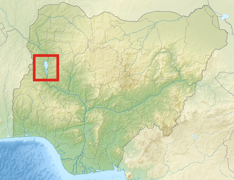
| current | 01:37, 1 December 2011 | | 954 × 734 (707 KB) | commons>P. S. Burton | == {{int:filedesc}} == {{Information |Description={{en|1= Relief location map of Nigeria. * Projection: Equirectangular projection, strechted by 100.0%. * Geographic limits of the map: :* N: 14.0° N :* S: 4.0° N :* W: 2.0° E :* E: 15.0° E * GMT proj |
File usage
There are no pages that use this file.