File:Jõesuu vaatetorn.jpg
Jump to navigation
Jump to search

Size of this preview: 800 × 534 pixels. Other resolutions: 320 × 213 pixels | 640 × 427 pixels | 1,024 × 683 pixels | 1,280 × 854 pixels | 3,000 × 2,001 pixels.
Original file (3,000 × 2,001 pixels, file size: 1.14 MB, MIME type: image/jpeg)
Summary
| Description |
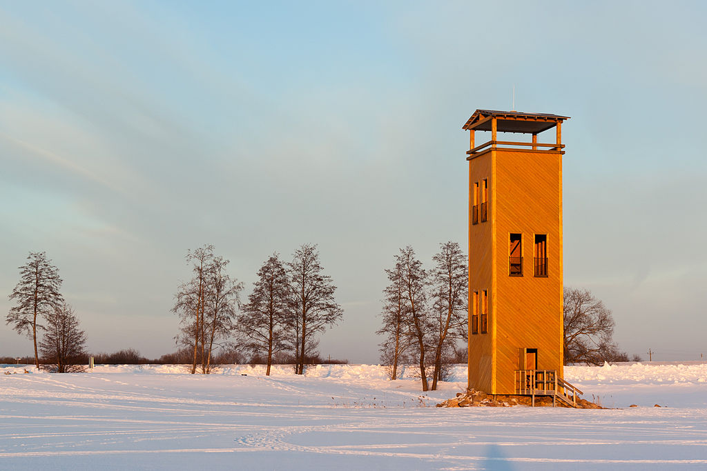
Беларуская (тарашкевіца): Вартавая вежа Йыэсуу на паўночным беразе возера Выртс’ярв.
Eesti: Jõesuu vaatetorn Võrtsjärve põhjakaldal. English: Jõesuu watchtower on the northern shore of Lake Võrtsjärv.
Italiano: Torre di guardia Jõesuu sulla sponda settentrionale del lago di Võrtsjärv, Estonia. |
| Date | |
| Source | Own work |
| Author | Amadvr |
| Camera location | | View this and other nearby images on: OpenStreetMap |
|---|
|
This image was selected as picture of the day on Wikimedia Commons for 15 May 2014. It was captioned as follows: English: Jõesuu watchtower on the northern shore of Lake Võrtsjärv. Other languages:
Bosanski: Osmatračnica Jõesuu na sjevernoj obali jezera Võrtsjärv. Deutsch: Beobachtungsturm Jõesuu am estnischee See Võrtsjärv Eesti: Jõesuu vaatetorn Võrtsjärve põhjakaldal. English: Jõesuu watchtower on the northern shore of Lake Võrtsjärv. Magyar: Jõesuu kilátó a Võrts-tó északi partján Nederlands: Jõesuu uitkijktoren aan de noordkust van het Võrtsjärv, het op een na grootste meer van Estland. 한국어: 에스토니아에 위치한 페르트스야르프 호수의 사진이다. 中文: 爱沙尼亚沃尔茨湖北岸的嘹望塔。 |
This image has been assessed using the Quality image guidelines and is considered a Quality image.
|
Licensing
I, the copyright holder of this work, hereby publish it under the following license:
This file is licensed under the Creative Commons Attribution-Share Alike 3.0 Unported license.
- You are free:
- to share – to copy, distribute and transmit the work
- to remix – to adapt the work
- Under the following conditions:
- attribution – You must give appropriate credit, provide a link to the license, and indicate if changes were made. You may do so in any reasonable manner, but not in any way that suggests the licensor endorses you or your use.
- share alike – If you remix, transform, or build upon the material, you must distribute your contributions under the same or compatible license as the original.
File history
Click on a date/time to view the file as it appeared at that time.
| Date/Time | Thumbnail | Dimensions | User | Comment | |
|---|---|---|---|---|---|
| current | 16:20, 1 September 2012 | | 3,000 × 2,001 (1.14 MB) | commons>Amadvr | User created page with UploadWizard |
File usage
There are no pages that use this file.