File:Jersey location map EN.svg
Jump to navigation
Jump to search

Size of this PNG preview of this SVG file: 800 × 552 pixels. Other resolutions: 320 × 221 pixels | 640 × 442 pixels | 1,024 × 707 pixels | 1,280 × 884 pixels | 2,560 × 1,767 pixels | 1,114 × 769 pixels.
Original file (SVG file, nominally 1,114 × 769 pixels, file size: 1.46 MB)
File history
Click on a date/time to view the file as it appeared at that time.
| Date/Time | Thumbnail | Dimensions | User | Comment | |
|---|---|---|---|---|---|
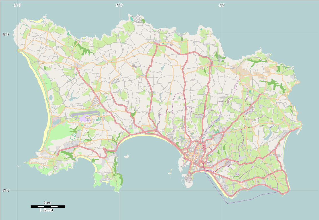
| current | 10:31, 20 December 2014 | | 1,114 × 769 (1.46 MB) | commons>Philg88 | {{Information |Description ={{en|1=Location map of Jersey, Channel Islands, UK}} |Source ={{own}} |Author =Philg88; Attribution: Wikimedia Foundation (www.wikimedia.org) |Date =2014-12-20 |Permission =... |
File usage
There are no pages that use this file.