File:Jacksonville Urban Core.png
Jump to navigation
Jump to search

Size of this preview: 722 × 600 pixels. Other resolutions: 289 × 240 pixels | 578 × 480 pixels | 927 × 770 pixels.
Original file (927 × 770 pixels, file size: 515 KB, MIME type: image/png)
File history
Click on a date/time to view the file as it appeared at that time.
| Date/Time | Thumbnail | Dimensions | User | Comment | |
|---|---|---|---|---|---|
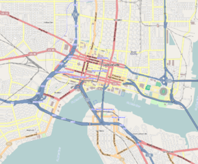
| current | 10:31, 5 March 2013 | | 927 × 770 (515 KB) | commons>Mathew105601 | {{Information |Description ={{en|1=Central Jacksonville Geographic limits of the map: * N: 30.3518° * S: 30.3018° * W: -81.6949° * E: -81.6252° }} |Source =http://www.openstreetmap.org |Author =OpenStreetMap contributors |Dat... |
File usage
There are no pages that use this file.