File:Israel districts named.png
Jump to navigation
Jump to search

Size of this preview: 223 × 598 pixels. Other resolutions: 89 × 240 pixels | 500 × 1,341 pixels.
Original file (500 × 1,341 pixels, file size: 32 KB, MIME type: image/png)
File history
Click on a date/time to view the file as it appeared at that time.
| Date/Time | Thumbnail | Dimensions | User | Comment | |
|---|---|---|---|---|---|
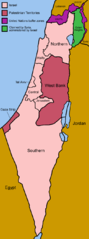
| current | 06:47, 2 July 2005 | 500 × 1,341 (32 KB) | commons>Golbez | Map of the districts of Israel. Source: Made by User:Golbez. {{cc-by-sa-2.0}} Category:Maps of Israel\ |
File usage
There are no pages that use this file.