File:Islington London UK location map.svg
Jump to navigation
Jump to search

Size of this PNG preview of this SVG file: 461 × 599 pixels. Other resolutions: 185 × 240 pixels | 369 × 480 pixels | 591 × 768 pixels | 788 × 1,024 pixels | 1,576 × 2,048 pixels | 974 × 1,266 pixels.
Original file (SVG file, nominally 974 × 1,266 pixels, file size: 2.14 MB)
| Description |
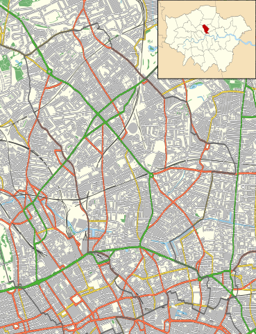
Location map of the London Borough of Islington with the following information shown:
Equirectangular map projection on WGS 84 datum, with N/S stretched 160% Geographic limits:
|
| Date | |
| Source |
|
| Author | Nilfanion |
| Permission (Reusing this file) |
This file is licensed under the Creative Commons Attribution-Share Alike 3.0 Unported license. Attribution: Contains Ordnance Survey data © Crown copyright and database right
|
File history
Click on a date/time to view the file as it appeared at that time.
| Date/Time | Thumbnail | Dimensions | User | Comment | |
|---|---|---|---|---|---|
| current | 23:10, 15 November 2011 | | 974 × 1,266 (2.14 MB) | commons>Nilfanion | {{Information |Description=Location map of the London Borough of Islington with the following information shown: *{{legend|#646464|Ward boundaries}} *{{legend|#667fff|Motorways}} *{{legend|#4cb336|Primary routes}} *{{lege |
File usage
There are no pages that use this file.