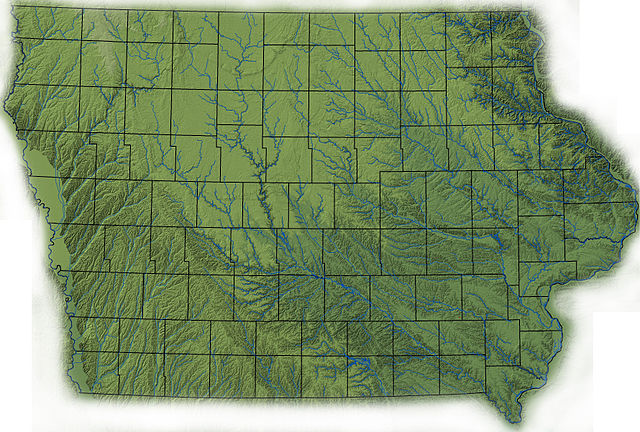
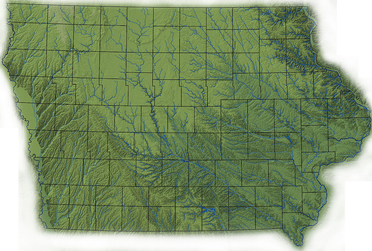
File:Iowa topography.jpg
Jump to navigation
Jump to search

Size of this preview: 800 × 540 pixels. Other resolutions: 320 × 216 pixels | 640 × 432 pixels | 1,024 × 691 pixels | 1,280 × 864 pixels | 2,560 × 1,729 pixels | 3,560 × 2,404 pixels.
Original file (3,560 × 2,404 pixels, file size: 4 MB, MIME type: image/jpeg)
File history
Click on a date/time to view the file as it appeared at that time.
| Date/Time | Thumbnail | Dimensions | User | Comment | |
|---|---|---|---|---|---|
| current | 15:45, 14 April 2009 | | 3,560 × 2,404 (4 MB) | commons>File Upload Bot (Magnus Manske) | {{BotMoveToCommons|en.wikipedia|year={{subst:CURRENTYEAR}}|month={{subst:CURRENTMONTHNAME}}|day={{subst:CURRENTDAY}}}} {{Information |Description={{en|topographic map of Iowa created in ArcMap using ISUGIS 30-M USGS DEM, fade in Photoshop<br/> == Licensi |
File usage
There are no pages that use this file.