File:Invercargill.png
Jump to navigation
Jump to search
Size of this preview: 460 × 599 pixels. Other resolutions: 184 × 240 pixels | 520 × 677 pixels.
Original file (520 × 677 pixels, file size: 11 KB, MIME type: image/png)
File history
Click on a date/time to view the file as it appeared at that time.
| Date/Time | Thumbnail | Dimensions | User | Comment | |
|---|---|---|---|---|---|
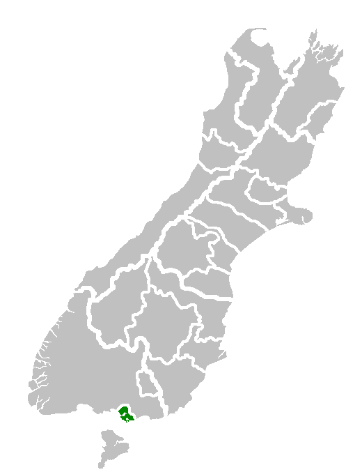
| current | 16:12, 31 January 2008 | | 520 × 677 (11 KB) | commons>Andy king50 | {{PD-user-w|en|English Wikipedia|Furius}} {{Information |Description=Map of South Island showing location of Invercargill Territorial Authority. |Source=Own work of author |Date=8 December 2006 |Author=en:User:Furius |other_versions= }} |
File usage
There are no pages that use this file.