File:Indiana map with national inset.png
Jump to navigation
Jump to search
No higher resolution available.
Indiana_map_with_national_inset.png (388 × 600 pixels, file size: 77 KB, MIME type: image/png)
File history
Click on a date/time to view the file as it appeared at that time.
| Date/Time | Thumbnail | Dimensions | User | Comment | |
|---|---|---|---|---|---|
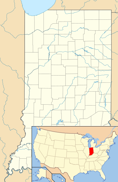
| current | 18:39, 23 June 2014 | | 388 × 600 (77 KB) | commons>Finetooth | {{Information |Description=Composite map showing the U.S. state of Indiana and its location within the U.S. |Source=File:USA Indiana location map.svg and File:Map of USA IN.svg |Date=2014-06-23 |Author=User:User:Alexrk2 for the Indiana lo... |
File usage
There are no pages that use this file.