File:India Geographic Map.jpg
Jump to navigation
Jump to search

Size of this preview: 622 × 600 pixels. Other resolutions: 249 × 240 pixels | 498 × 480 pixels | 797 × 768 pixels | 1,062 × 1,024 pixels | 1,440 × 1,388 pixels.
Original file (1,440 × 1,388 pixels, file size: 809 KB, MIME type: image/jpeg)
File history
Click on a date/time to view the file as it appeared at that time.
| Date/Time | Thumbnail | Dimensions | User | Comment | |
|---|---|---|---|---|---|
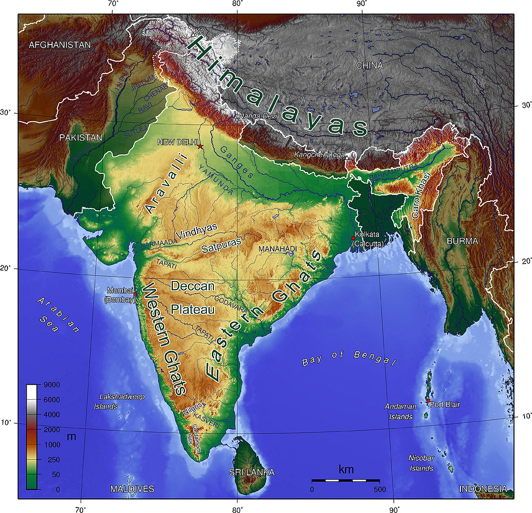
| current | 00:03, 17 October 2008 | | 1,440 × 1,388 (809 KB) | commons>Carlos-PCC | {{Information |Description=Map showing Mountains and Rivers of India |Source=http://en.wikipedia.org/wiki/Image:India_Geographic_Map.jpg |Date= |Author=Sagredo |Permission={{GFDL}} |other_versions= }} Category:Maps of India <!--{{ImageUpload|basic}}- |
File usage
There are no pages that use this file.