File:Ibaraki-ken géolocalisation relief.svg
Jump to navigation
Jump to search

Size of this PNG preview of this SVG file: 412 × 599 pixels. Other resolutions: 165 × 240 pixels | 330 × 480 pixels | 528 × 768 pixels | 704 × 1,024 pixels | 1,408 × 2,048 pixels | 1,720 × 2,502 pixels.
Original file (SVG file, nominally 1,720 × 2,502 pixels, file size: 2.78 MB)
File history
Click on a date/time to view the file as it appeared at that time.
| Date/Time | Thumbnail | Dimensions | User | Comment | |
|---|---|---|---|---|---|
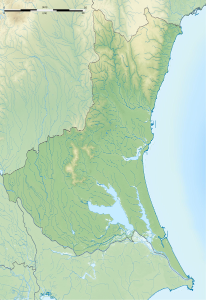
| current | 16:06, 8 July 2013 | | 1,720 × 2,502 (2.78 MB) | commons>Bourrichon | == {{int:filedesc}} == {{Location|36|00|00|N|140|00|00|E|scale:10000}} {{Information |Description= {{fr|Carte topographique vierge de la fr:Préfecture d'Ibaraki, au Japon, destinée à la géolocalisation.}} {{de|Topographische Ka... |
File usage
There are no pages that use this file.