File:I-70 (CO) map.svg
Jump to navigation
Jump to search

Size of this PNG preview of this SVG file: 800 × 466 pixels. Other resolutions: 320 × 187 pixels | 640 × 373 pixels | 1,024 × 597 pixels | 1,280 × 746 pixels | 2,560 × 1,493 pixels | 1,475 × 860 pixels.
Original file (SVG file, nominally 1,475 × 860 pixels, file size: 19 KB)
_map.svg)
File history
Click on a date/time to view the file as it appeared at that time.
| Date/Time | Thumbnail | Dimensions | User | Comment | |
|---|---|---|---|---|---|
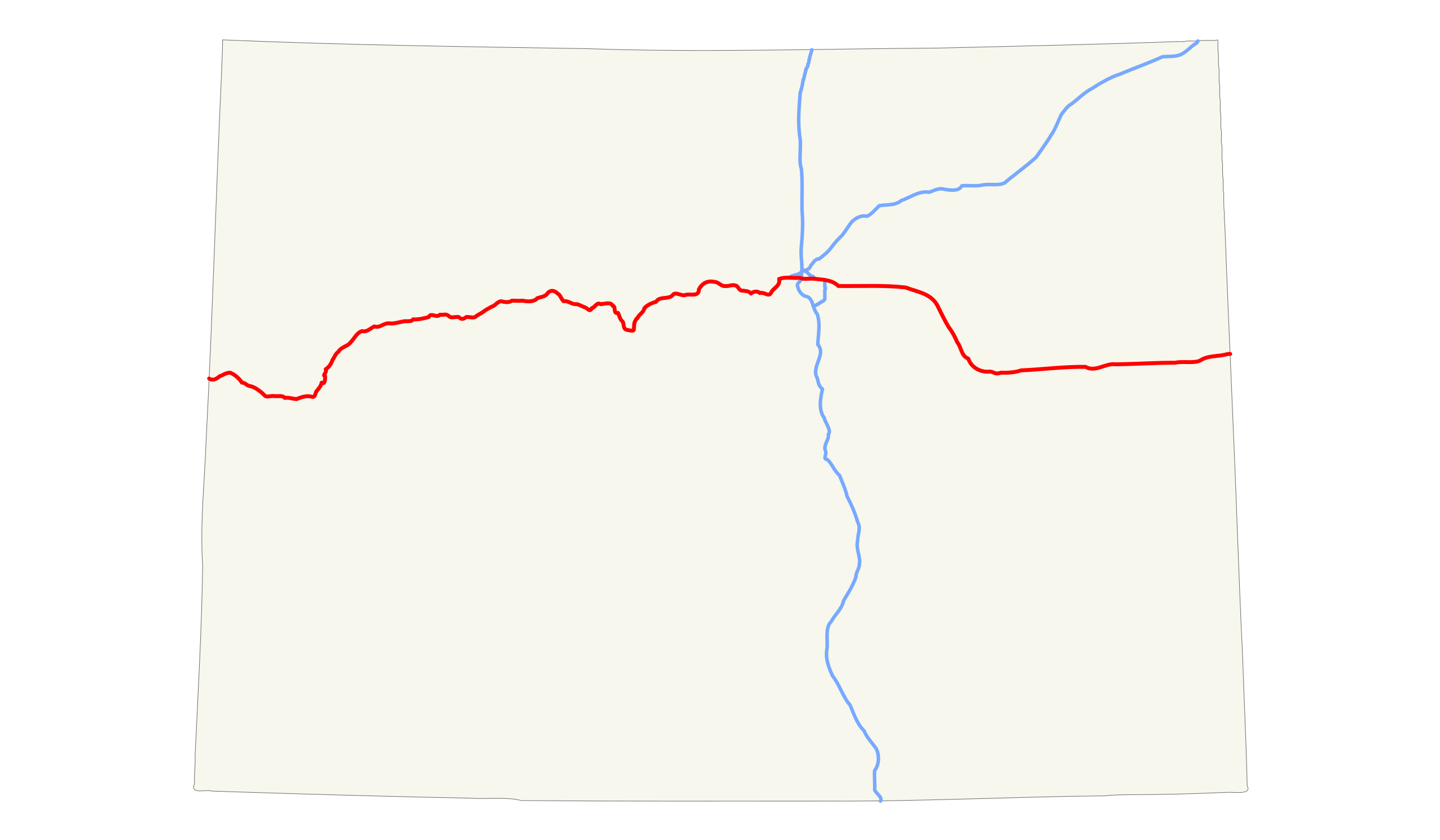
| current | 17:59, 5 August 2008 | | 1,475 × 860 (19 KB) | commons>25or6to4 | {{Information |Description={{en|1=Map of Interstate 70 in Colorado}} |Source=Own work by uploader |Author=25or6to4 |Date=8/5/08 |Permission= |other_versions= }} {{ImageUpload|full}} Category:Maps of Colorado |
File usage
There are no pages that use this file.
_map.svg)