File:Hutovo Blato sunset.jpg
Jump to navigation
Jump to search

Size of this preview: 799 × 218 pixels. Other resolutions: 320 × 87 pixels | 640 × 175 pixels | 1,024 × 279 pixels | 1,280 × 349 pixels | 5,325 × 1,453 pixels.
Original file (5,325 × 1,453 pixels, file size: 711 KB, MIME type: image/jpeg)
Summary
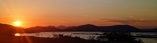
| Description | Zachód słońca nad Hutovo Blato, Čapljina, Federacja Bośni i Hercegowiny, Bośnia i Hercegowina |
| Date | |
| Source | Own work |
| Author | Cobramar |
| Camera location | | View this and other nearby images on: OpenStreetMap |
|---|
Zachód słońca nad Hutovo Blato, Čapljina, Federacja Bośni i Hercegowiny, Bośnia i Hercegowina
Licensing
I, the copyright holder of this work, hereby publish it under the following license:
This file is licensed under the Creative Commons Attribution 3.0 Unported license.
- You are free:
- to share – to copy, distribute and transmit the work
- to remix – to adapt the work
- Under the following conditions:
- attribution – You must give appropriate credit, provide a link to the license, and indicate if changes were made. You may do so in any reasonable manner, but not in any way that suggests the licensor endorses you or your use.

|
This image was uploaded as part of WikiVacations contest in Poland.
|

|
This image was uploaded as part of Wiki Loves Monuments 2017.
|
File history
Click on a date/time to view the file as it appeared at that time.
| Date/Time | Thumbnail | Dimensions | User | Comment | |
|---|---|---|---|---|---|
| current | 12:52, 4 September 2017 | 5,325 × 1,453 (711 KB) | commons>Cobramar | User created page with UploadWizard |
File usage
There are no pages that use this file.