File:Huntington Library collection Rancho Sausal Redondo US survey plat map.jpg
Jump to navigation
Jump to search

Size of this preview: 704 × 600 pixels. Other resolutions: 282 × 240 pixels | 563 × 480 pixels | 901 × 768 pixels | 1,202 × 1,024 pixels | 2,403 × 2,048 pixels | 6,202 × 5,285 pixels.
Original file (6,202 × 5,285 pixels, file size: 5.1 MB, MIME type: image/jpeg)
File history
Click on a date/time to view the file as it appeared at that time.
| Date/Time | Thumbnail | Dimensions | User | Comment | |
|---|---|---|---|---|---|
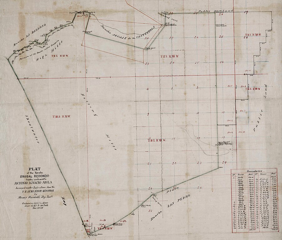
| current | 02:27, 28 March 2023 | | 6,202 × 5,285 (5.1 MB) | commons>Jengod | Uploaded a work by Henry Hancock from Title Plat of the Rancho Sausal Redondo. Creator Hancock, Henry, 1822-1883, surveyor. Date Searchable 1855; 1856; 1857; 1858; 1859; 1860; 1861; 1862; 1863; 1864; 1865 Date undated Call Number SR_Map_0258 Physical Description 1 ms. map ; 18 x 22 in., on sheet 24 x 23 1/4 in., ink on tracing cloth Scale 1 : 40 chains Location depicted Sausal, Rancho Redondo Beach El Segundo Inglewood Description Bordered by ranchos San Pedro, La Ballona, Aguaje de la Centin... |
File usage
There are no pages that use this file.