File:Hungary with Turky in Europe.jpg
Jump to navigation
Jump to search
Size of this preview: 731 × 600 pixels. Other resolutions: 293 × 240 pixels | 585 × 480 pixels | 936 × 768 pixels | 1,248 × 1,024 pixels | 2,496 × 2,048 pixels | 2,676 × 2,196 pixels.
Original file (2,676 × 2,196 pixels, file size: 288 KB, MIME type: image/jpeg)
File history
Click on a date/time to view the file as it appeared at that time.
| Date/Time | Thumbnail | Dimensions | User | Comment | |
|---|---|---|---|---|---|
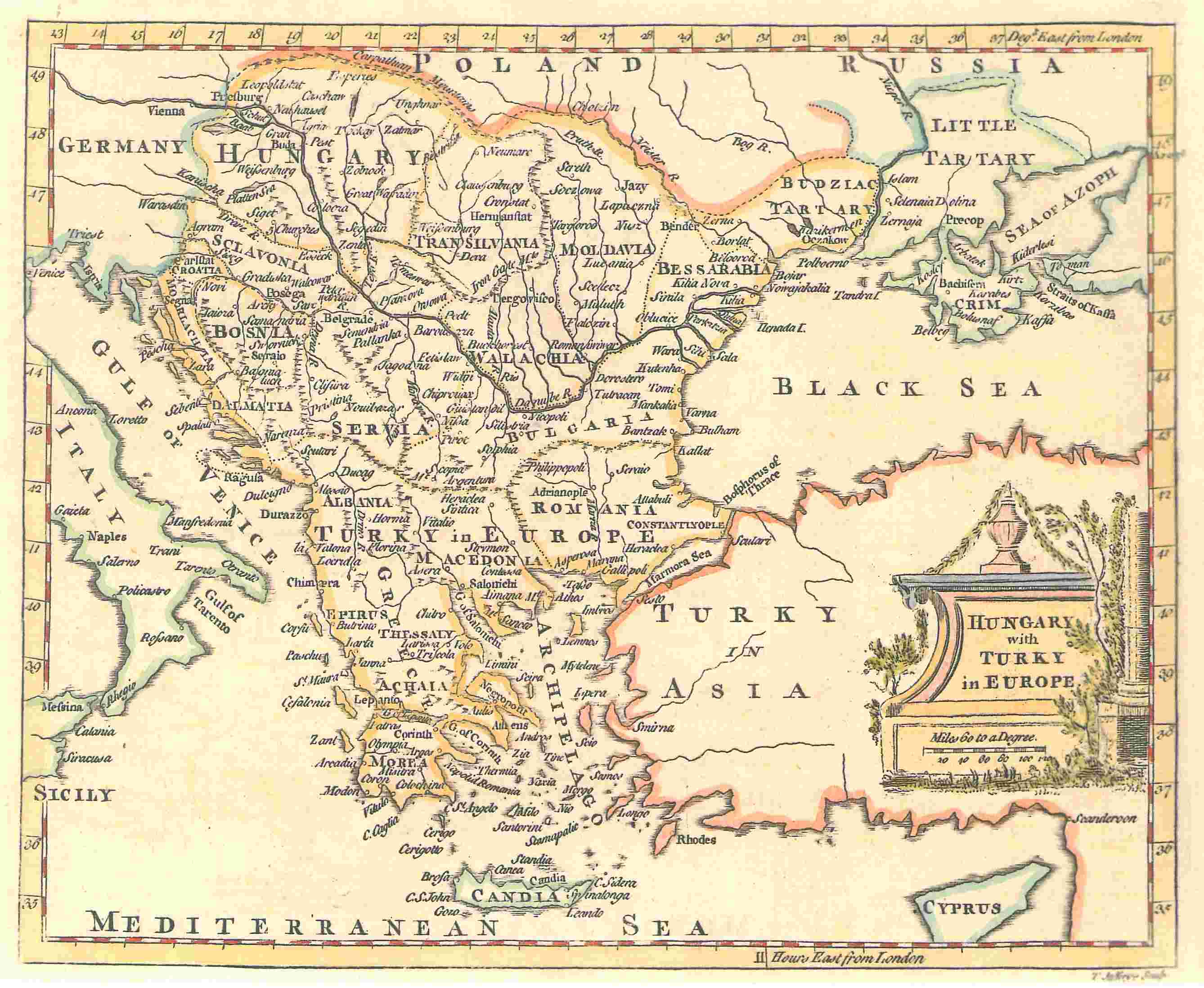
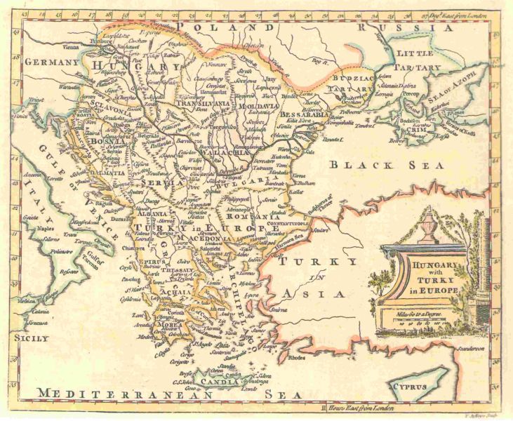
| current | 22:00, 19 November 2006 | | 2,676 × 2,196 (288 KB) | commons>Electionworld | '''A map by T. Jefferys, 1785''' <br><br> The map shows Hungary and the bordering Balkan regions controlled by the Ottoman Empire. <br><br> ''The owner of the map agrees to the image being displayed in Wikipedia. All other ways of using this image should |
File usage
There are no pages that use this file.