File:Humber Estuary at Sunk Island.jpg
Jump to navigation
Jump to search

Size of this preview: 448 × 600 pixels. Other resolutions: 179 × 240 pixels | 478 × 640 pixels.
Original file (478 × 640 pixels, file size: 137 KB, MIME type: image/jpeg)
File history
Click on a date/time to view the file as it appeared at that time.
| Date/Time | Thumbnail | Dimensions | User | Comment | |
|---|---|---|---|---|---|
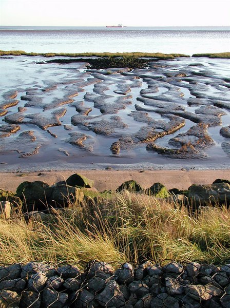
| current | 18:04, 25 June 2009 | | 478 × 640 (137 KB) | commons>Keith D | == Summary == {{Information |Description=The Humber Estuary across the western end of Sunk Island Sands |Source=From [http://www.geograph.org.uk/photo/276036 geograph.org.uk] |Date=2006-11-09 |Author=[http://www.geograph.org.uk/profile/6470 Paul Glazzard] |
File usage
There are no pages that use this file.