File:Hull map.jpg
Jump to navigation
Jump to search

Size of this preview: 774 × 600 pixels. Other resolutions: 310 × 240 pixels | 620 × 480 pixels | 822 × 637 pixels.
Original file (822 × 637 pixels, file size: 115 KB, MIME type: image/jpeg)
File history
Click on a date/time to view the file as it appeared at that time.
| Date/Time | Thumbnail | Dimensions | User | Comment | |
|---|---|---|---|---|---|
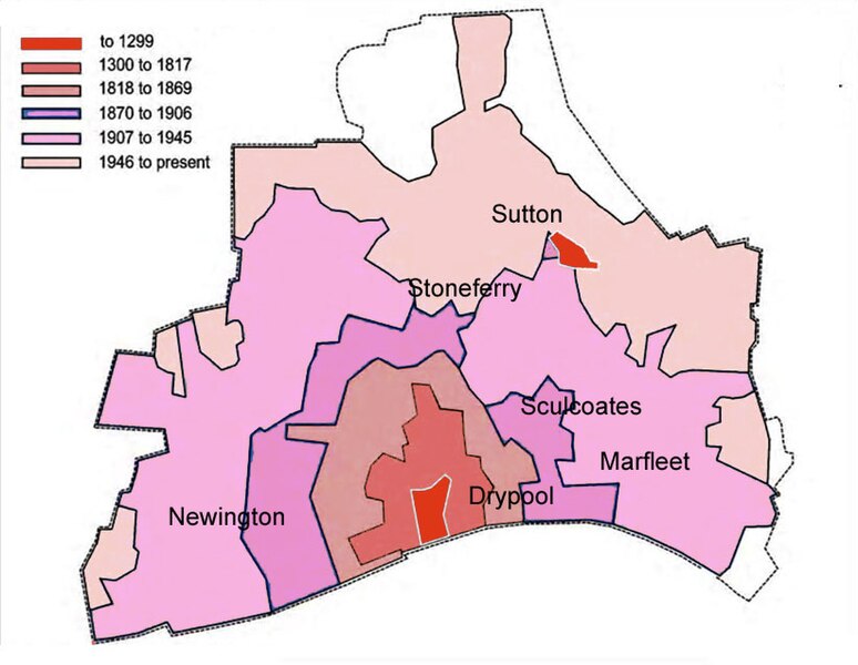
| current | 07:47, 27 April 2008 | | 822 × 637 (115 KB) | commons>Harkey Lodger | ({{ImageSummary| author=Harkey Lodger | source=Self Made with Photoshop and Mapmaker software | date=2008-04-27 | location=Kingston upon Hull | description=A map to show the expansion of Hull. Information from Hull City Council.Areas ded}} ) |
File usage
There are no pages that use this file.