File:Honduras location map.svg
Jump to navigation
Jump to search

Size of this PNG preview of this SVG file: 800 × 497 pixels. Other resolutions: 320 × 199 pixels | 640 × 397 pixels | 1,024 × 636 pixels | 1,280 × 795 pixels | 2,560 × 1,589 pixels | 923 × 573 pixels.
Original file (SVG file, nominally 923 × 573 pixels, file size: 485 KB)
File history
Click on a date/time to view the file as it appeared at that time.
| Date/Time | Thumbnail | Dimensions | User | Comment | |
|---|---|---|---|---|---|
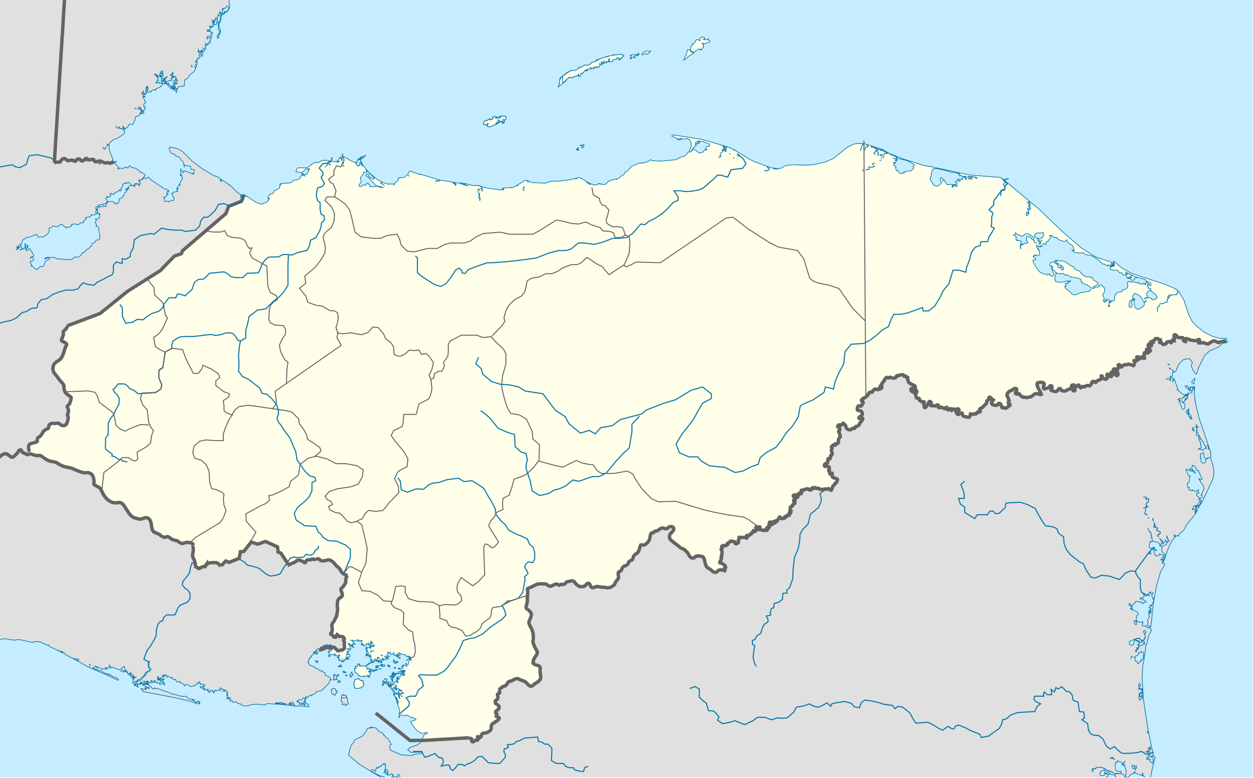
| current | 20:14, 15 October 2009 | | 923 × 573 (485 KB) | commons>Addicted04 | {{Information |Description={{en|1=Location map of Honduras.<br/>Geographic limits of the map:<br/>* West : 89° 50' W<br/>* East : 83° 00' W<br/>* North : 16° 70' N<br/>* South : 12° 80' N}} |Source=OpenStreetMap.org (CreativeCommons license) |Author=[ |
File usage
There are no pages that use this file.