File:Historical Map of Sikkim in northeastern India.jpg
Jump to navigation
Jump to search

Size of this preview: 691 × 600 pixels. Other resolutions: 276 × 240 pixels | 553 × 480 pixels | 885 × 768 pixels | 1,179 × 1,024 pixels | 2,359 × 2,048 pixels | 4,510 × 3,916 pixels.
Original file (4,510 × 3,916 pixels, file size: 14.76 MB, MIME type: image/jpeg)
File history
Click on a date/time to view the file as it appeared at that time.
| Date/Time | Thumbnail | Dimensions | User | Comment | |
|---|---|---|---|---|---|
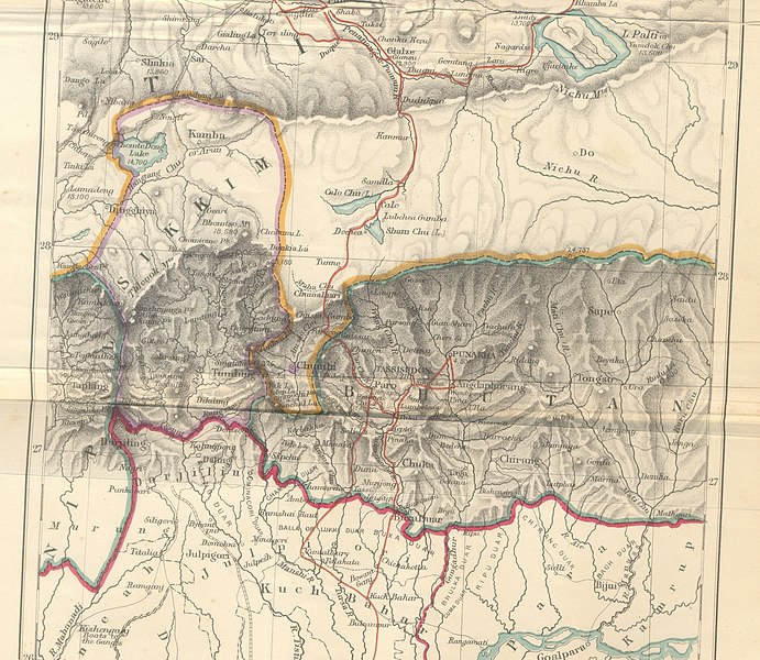
| current | 07:38, 25 June 2010 | | 4,510 × 3,916 (14.76 MB) | commons>File Upload Bot (Magnus Manske) | {{BotMoveToCommons|en.wikipedia|year={{subst:CURRENTYEAR}}|month={{subst:CURRENTMONTHNAME}}|day={{subst:CURRENTDAY}}}} {{Information |Description={{en|Historical Map of Sikkim in northeastern India extracted from map prepared by Trelawney Saunders, 1876 |
File usage
There are no pages that use this file.