File:Hale Koa Hotel aerial view.jpg
Jump to navigation
Jump to search

Size of this preview: 800 × 528 pixels. Other resolutions: 320 × 211 pixels | 640 × 422 pixels | 1,024 × 676 pixels | 1,477 × 975 pixels.
Original file (1,477 × 975 pixels, file size: 1.37 MB, MIME type: image/jpeg)
| Description |
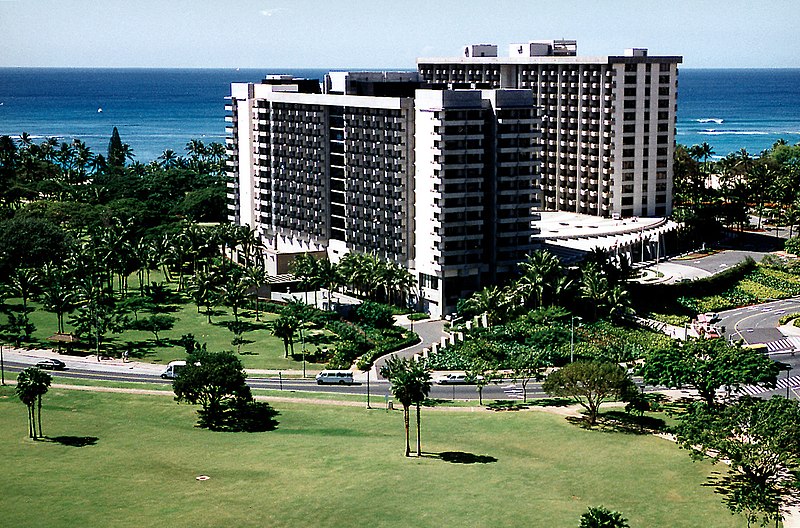
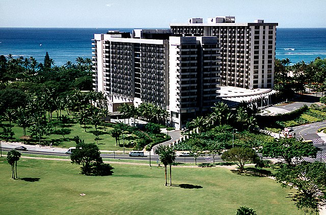
English: Aerial view of the twin towers of Hale Koa Hotel, Waikiki, Honolulu, Hawaii, USA. |
|||
| Location | Honolulu, Hawaii, USA | |||
| Date | ||||
| Source |
U.S. Army Corps of Engineers Digital Visual Library Image page Image description page Digital Visual Library home page |
|||
| Author | Jim Dung, U.S. Army Corps of Engineers | |||
| Permission (Reusing this file) |
|
| Object location | | View this and other nearby images on: OpenStreetMap |
|---|
File history
Click on a date/time to view the file as it appeared at that time.
| Date/Time | Thumbnail | Dimensions | User | Comment | |
|---|---|---|---|---|---|
| current | 01:54, 21 March 2007 | | 1,477 × 975 (1.37 MB) | commons>DanMS | {{Information | Description = {{en|Aerial view of the twin towers of Hale Koa Hotel, Waikiki, Honolulu, Hawaii, USA.}} | Source = U.S. Army Corps of Engineers Digital Visual Library<br />[http://images.usace.army.mil/images/Hires/Cepoh-09.Jpg I |
File usage
There are no pages that use this file.