File:Haa Dhaalu Atoll location map.svg
Jump to navigation
Jump to search

Size of this PNG preview of this SVG file: 573 × 564 pixels. Other resolutions: 244 × 240 pixels | 488 × 480 pixels | 780 × 768 pixels | 1,040 × 1,024 pixels | 2,081 × 2,048 pixels.
Original file (SVG file, nominally 573 × 564 pixels, file size: 38 KB)
File history
Click on a date/time to view the file as it appeared at that time.
| Date/Time | Thumbnail | Dimensions | User | Comment | |
|---|---|---|---|---|---|
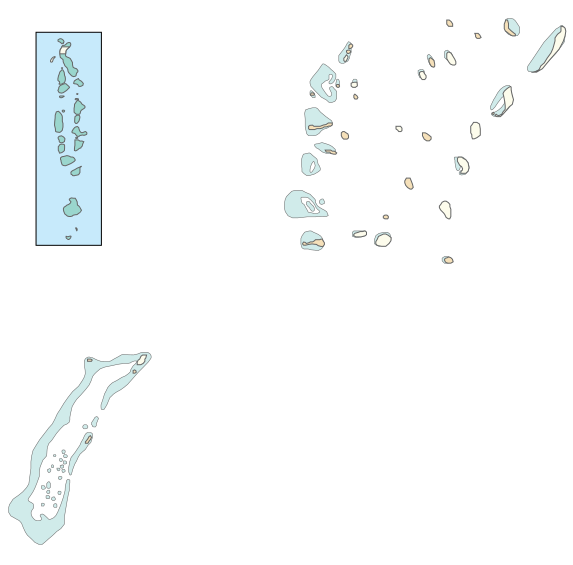
| current | 11:39, 21 June 2013 | | 573 × 564 (38 KB) | commons>Ziansh | {{Information |Description ={{en|1=Location map for Haa Dhaalu Atoll, an administrative atoll-class constituency of Maldives.}} |Source ={{own}} |Author =Ziansh |Date = |Permission = |other_versions = }} |
File usage
There are no pages that use this file.