File:H1N1 North America Map.svg
Jump to navigation
Jump to search

Size of this PNG preview of this SVG file: 498 × 600 pixels. Other resolutions: 199 × 240 pixels | 399 × 480 pixels | 638 × 768 pixels | 850 × 1,024 pixels | 1,701 × 2,048 pixels | 1,789 × 2,154 pixels.
Original file (SVG file, nominally 1,789 × 2,154 pixels, file size: 529 KB)
Summary
| Description |
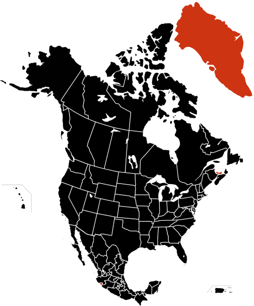
English: Map of 2009 Swine Flue outbreak. Aggregation of data from the Mexico, United States, & Canada maps Deaths Confirmed cases Unconfirmed or suspected cases
Magyar: A H1N1 Észak-Amerikában
Beigazolt haláleset
Igazolt fertőzés
Feltételezett fertőzés Português: Mapa da pandemia de gripe de 2009 na América do Norte.
Mortes
Casos confirmados
Casos suspeitos |
| Date | |
| Source | My work from File:North_America_second_level_political_division.svg |
| Author | Sketch051 |
| Other versions |
|


Licensing
| I, the copyright holder of this work, release this work into the public domain. This applies worldwide. In some countries this may not be legally possible; if so: I grant anyone the right to use this work for any purpose, without any conditions, unless such conditions are required by law. |
File history
Click on a date/time to view the file as it appeared at that time.
| Date/Time | Thumbnail | Dimensions | User | Comment | |
|---|---|---|---|---|---|
| current | 02:28, 10 December 2009 | | 1,789 × 2,154 (529 KB) | commons>Fonadier | Fixing |
File usage
There are no pages that use this file.