File:Guinea-Bissau sectors.png
Jump to navigation
Jump to search

Size of this preview: 800 × 464 pixels. Other resolutions: 320 × 186 pixels | 640 × 372 pixels | 1,025 × 595 pixels.
Original file (1,025 × 595 pixels, file size: 21 KB, MIME type: image/png)
File history
Click on a date/time to view the file as it appeared at that time.
| Date/Time | Thumbnail | Dimensions | User | Comment | |
|---|---|---|---|---|---|
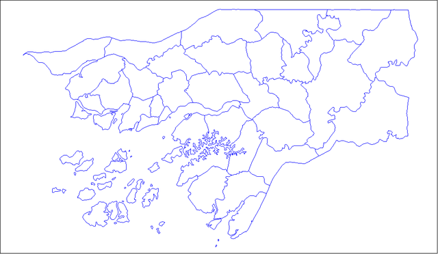
| current | 12:26, 10 December 2006 | | 1,025 × 595 (21 KB) | commons>Electionworld | {{ew|en|Rarelibra}} Map of the sectors of Guinea-Bissau. Created by Rarelibra 16:24, 27 April 2006 (UTC) for public domain use. Created using MapInfo Professional v7.5 and various mapping resources. == Licensing == {{PD-self}} |
File usage
There are no pages that use this file.