File:Greco-BactrianKingdomMap.jpg
Jump to navigation
Jump to search

Size of this preview: 800 × 546 pixels. Other resolutions: 320 × 219 pixels | 640 × 437 pixels | 1,024 × 699 pixels | 1,280 × 874 pixels | 1,920 × 1,311 pixels.
Original file (1,920 × 1,311 pixels, file size: 464 KB, MIME type: image/jpeg)
File history
Click on a date/time to view the file as it appeared at that time.
| Date/Time | Thumbnail | Dimensions | User | Comment | |
|---|---|---|---|---|---|
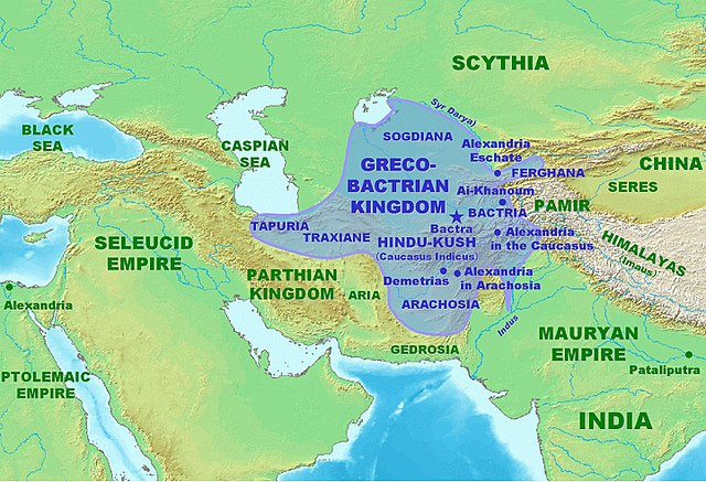
| current | 20:00, 26 January 2007 | | 1,920 × 1,311 (464 KB) | commons>World Imaging | Map of the Greco-Bactrian at its maximum extent, circa 180 BCE. Personal creation. |
File usage
There are no pages that use this file.