File:Gray Village Cemetery.jpg
Jump to navigation
Jump to search
No higher resolution available.
Gray_Village_Cemetery.jpg (732 × 549 pixels, file size: 151 KB, MIME type: image/jpeg)
Summary
| Description |
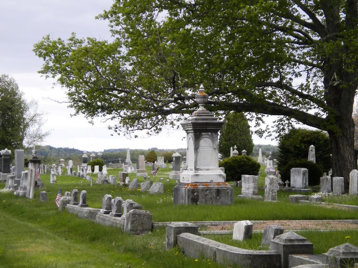
English: Final resting place of approximately 5,500 Gray, Maine residents including notable family members including the Cobb, Dolley, Stimson, Doughty, Foster, Colley, Frank, and Goff families. |
| Date | |
| Source | Own work |
| Author | RootsLilla |
| Camera location | | View this and other nearby images on: OpenStreetMap |
|---|
Licensing
I, the copyright holder of this work, hereby publish it under the following license:
This file is licensed under the Creative Commons Attribution-Share Alike 4.0 International license.
- You are free:
- to share – to copy, distribute and transmit the work
- to remix – to adapt the work
- Under the following conditions:
- attribution – You must give appropriate credit, provide a link to the license, and indicate if changes were made. You may do so in any reasonable manner, but not in any way that suggests the licensor endorses you or your use.
- share alike – If you remix, transform, or build upon the material, you must distribute your contributions under the same or compatible license as the original.
File history
Click on a date/time to view the file as it appeared at that time.
| Date/Time | Thumbnail | Dimensions | User | Comment | |
|---|---|---|---|---|---|
| current | 14:10, 11 August 2015 | | 732 × 549 (151 KB) | commons>RootsLilla | User created page with UploadWizard |
File usage
There are no pages that use this file.